Raymonds Gap Area, Raymonds Gap Postcode & Map in Raymonds Gap
Raymonds Gap Area, Raymonds Gap Postcode & Map in Raymonds Gap, Southland District, New Zealand
Raymonds Gap, Southland District, New Zealand
Raymonds Gap Area (estimated)
28.8 square kilometersRaymonds Gap Population (estimated)
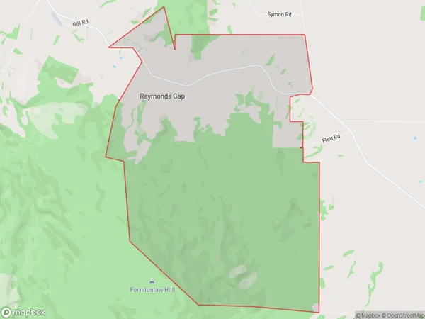
9 people live in Raymonds Gap, Tuatapere Te Waewae Community, NZRaymonds Gap Suburb Area Map (Polygon)
Raymonds Gap Introduction
Raymonds Gap is a small settlement in Otautau, Southland, New Zealand. It is located on State Highway 6, between Gore and Invercargill. The area is known for its scenic views and outdoor activities, including hiking, skiing, and fishing. The settlement has a general store, a post office, and a hotel.Region
Major City
Suburb Name
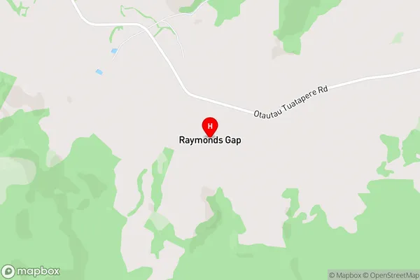
Raymonds GapRaymonds Gap Area Map (Street)
Local Authority
Southland DistrictFull Address
Raymonds Gap, Southland District, New ZealandAddress Type
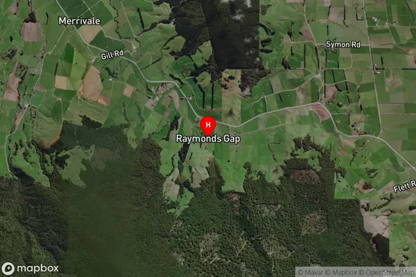
Locality in Town OtautauRaymonds Gap Suburb Map (Satellite)
Country
Main Region in AU
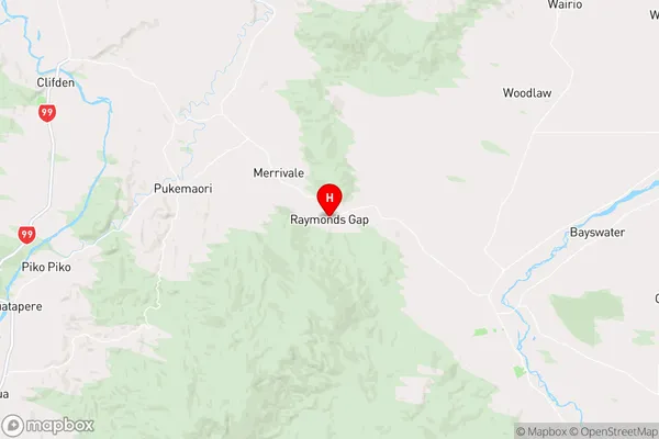
SouthlandRaymonds Gap Region Map
Coordinates
-46.09471,167.88734 (latitude/longitude)Distances
The distance from Raymonds Gap, Otautau, Southland District to NZ Top 10 Cities