Mount Linton Area, Mount Linton Postcode & Map in Mount Linton
Mount Linton Area, Mount Linton Postcode & Map in Mount Linton, Southland District, New Zealand
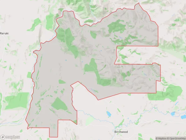
Mount Linton, Southland District, New Zealand
Mount Linton Area (estimated)
105.6 square kilometersMount Linton Population (estimated)
19 people live in Mount Linton, Tuatapere Te Waewae Community, NZMount Linton Suburb Area Map (Polygon)
Mount Linton Introduction
Mount Linton is a mountain in Otautau, Southland, New Zealand. It is the highest mountain in the region and is part of the Southern Alps. The mountain is popular with hikers and climbers and offers stunning views of the surrounding area.Region
Major City
Suburb Name
Mount LintonOther Name(s)
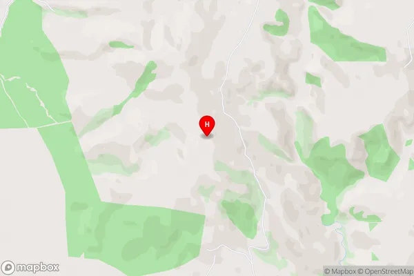
Mt LintonMount Linton Area Map (Street)
Local Authority
Southland DistrictFull Address
Mount Linton, Southland District, New ZealandAddress Type
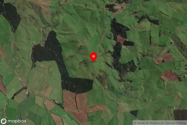
Locality in Town OtautauMount Linton Suburb Map (Satellite)
Country
Main Region in AU
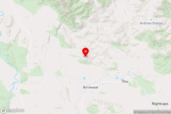
SouthlandMount Linton Region Map
Coordinates
-45.89161,167.85598 (latitude/longitude)Distances
The distance from Mount Linton, Otautau, Southland District to NZ Top 10 Cities