Flints Bush Area, Flints Bush Postcode & Map in Flints Bush
Flints Bush Area, Flints Bush Postcode & Map in Flints Bush, Southland District, New Zealand
Flints Bush, Southland District, New Zealand
Flints Bush Area (estimated)
7.7 square kilometersFlints Bush Population (estimated)
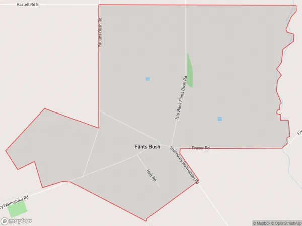
29 people live in Flints Bush, Southland, NZFlints Bush Suburb Area Map (Polygon)
Flints Bush Introduction
Flints Bush is a small rural community located in the Otautau district of Southland, New Zealand. It is situated on the banks of the Flints River and is known for its scenic beauty and peaceful atmosphere. The community has a population of around 100 people and is home to a variety of businesses, including a hotel, a convenience store, and a farm. The area is popular with outdoor enthusiasts, who enjoy hiking, fishing, and hunting in the surrounding countryside.Region
Major City
Suburb Name
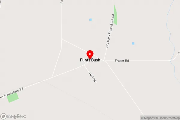
Flints BushFlints Bush Area Map (Street)
Local Authority
Southland DistrictFull Address
Flints Bush, Southland District, New ZealandAddress Type
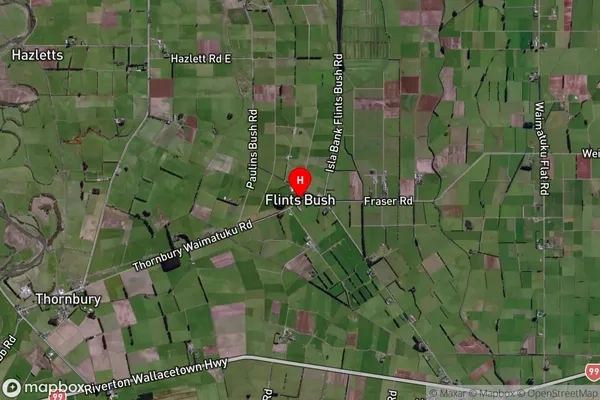
Locality in Town OtautauFlints Bush Suburb Map (Satellite)
Country
Main Region in AU
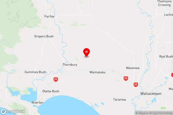
SouthlandFlints Bush Region Map
Coordinates
-46.27671,168.1371 (latitude/longitude)Distances
The distance from Flints Bush, Otautau, Southland District to NZ Top 10 Cities