Isla Bank Area, Isla Bank Postcode & Map in Isla Bank
Isla Bank Area, Isla Bank Postcode & Map in Isla Bank, Southland District, New Zealand
Isla Bank, Southland District, New Zealand
Isla Bank Area (estimated)
63.6 square kilometersIsla Bank Population (estimated)
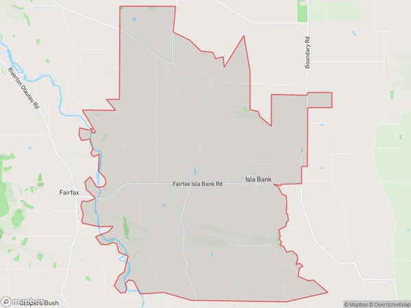
188 people live in Isla Bank, Wallace Takitimu Community, NZIsla Bank Suburb Area Map (Polygon)
Isla Bank Introduction
Isla Bank is a small rural community located in the Otautau district of Southland, New Zealand. It is situated on the banks of the Isla River and is known for its scenic beauty and peaceful atmosphere. The community has a primary school, a post office, a general store, and a few accommodation options for visitors. The area is popular for outdoor activities such as fishing, hiking, and hunting, and is surrounded by stunning natural landscapes.Region
Major City
Suburb Name
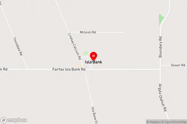
Isla BankIsla Bank Area Map (Street)
Local Authority
Southland DistrictFull Address
Isla Bank, Southland District, New ZealandAddress Type
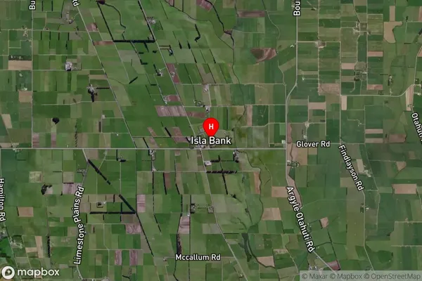
Locality in Town OtautauIsla Bank Suburb Map (Satellite)
Country
Main Region in AU
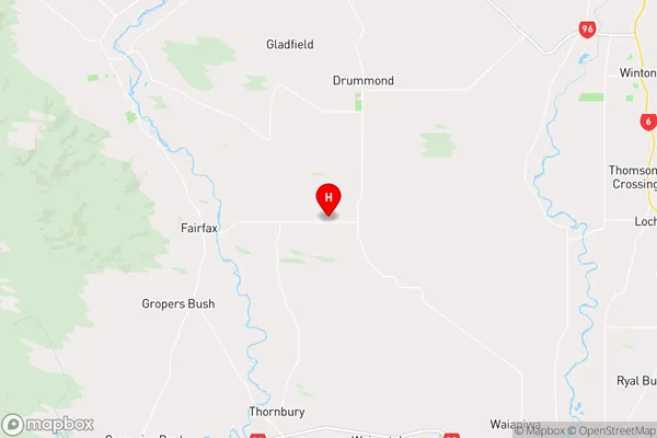
SouthlandIsla Bank Region Map
Coordinates
-46.2048906,168.1297867 (latitude/longitude)Distances
The distance from Isla Bank, Otautau, Southland District to NZ Top 10 Cities