Gladfield Area, Gladfield Postcode(9683) & Map in Gladfield
Gladfield Area, Gladfield Postcode(9683) & Map in Gladfield, Southland District, New Zealand
Gladfield, Southland District, New Zealand
Gladfield Postcodes
Gladfield Area (estimated)
34.1 square kilometersGladfield Population (estimated)
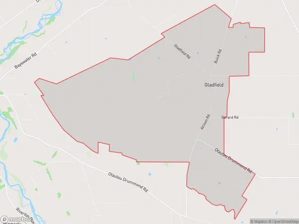
61 people live in Gladfield, Wallace Takitimu Community, NZGladfield Suburb Area Map (Polygon)
Gladfield Introduction
Gladfield is a small town in Southland, New Zealand, with a population of around 500 people. It is known for its cheese-making industry and is located on the banks of the Mataura River. The town has a historic church, a primary school, and a variety of recreational facilities. It is also home to the Gladfield Cheese Company, one of New Zealand's largest cheese manufacturers.Region
Major City
Suburb Name
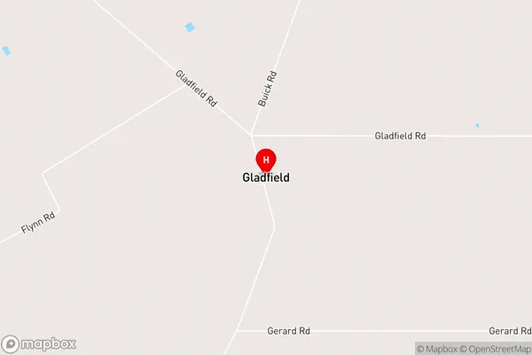
GladfieldGladfield Area Map (Street)
Local Authority
Southland DistrictFull Address
Gladfield, Southland District, New ZealandAddress Type
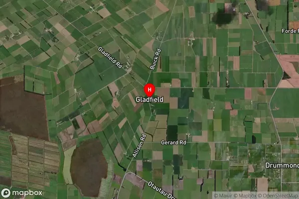
Locality in Town OtautauGladfield Suburb Map (Satellite)
Country
Main Region in AU
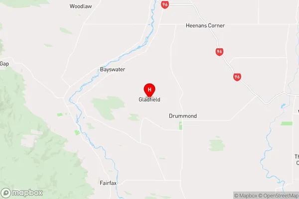
SouthlandGladfield Region Map
Coordinates
-46.12904,168.10571 (latitude/longitude)Distances
The distance from Gladfield, Otautau, Southland District to NZ Top 10 Cities