Woodlaw Area, Woodlaw Postcode & Map in Woodlaw
Woodlaw Area, Woodlaw Postcode & Map in Woodlaw, Southland District, New Zealand
Woodlaw, Southland District, New Zealand
Woodlaw Area (estimated)
28.1 square kilometersWoodlaw Population (estimated)
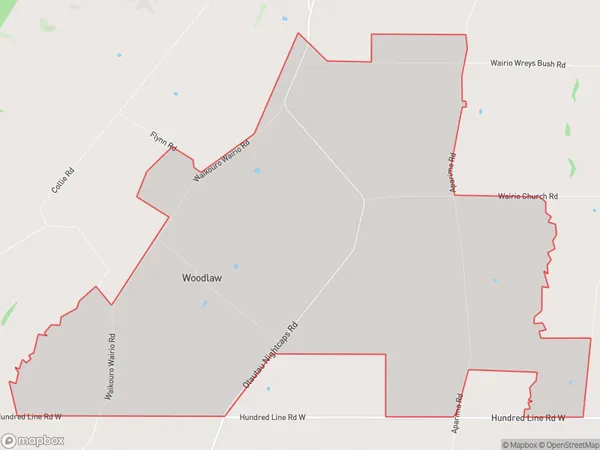
83 people live in Woodlaw, Wallace Takitimu Community, NZWoodlaw Suburb Area Map (Polygon)
Woodlaw Introduction
Woodlaw is a small rural community in Otautau, Southland, New Zealand. It is located on State Highway 6, approximately 12 km south of Otautau and 160 km south of Invercargill. The community has a primary school, a post office, and a small supermarket. The surrounding area is known for its farming and forestry industries, with sheep and beef farming being the main economic activities. Woodlaw is also home to a number of historic buildings, including the Woodlaw Hotel, which was built in 1884.Region
Major City
Suburb Name
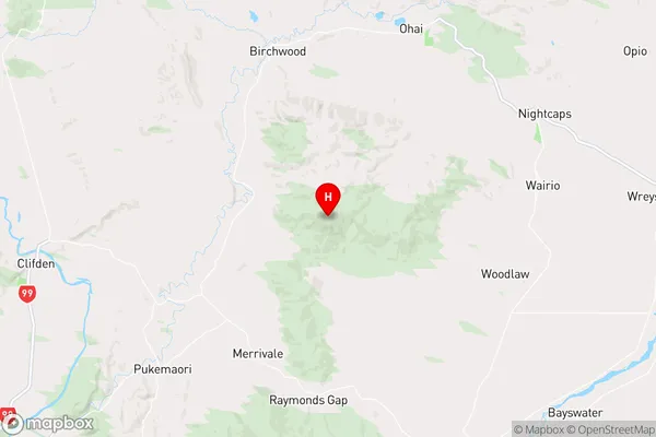
WoodlawWoodlaw Area Map (Street)
Local Authority
Southland DistrictFull Address
Woodlaw, Southland District, New ZealandAddress Type
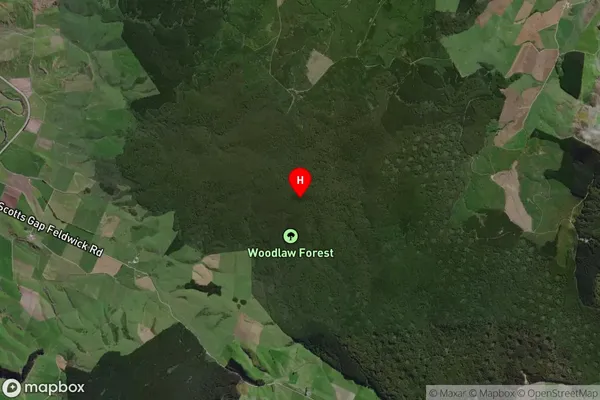
Locality in Town OtautauWoodlaw Suburb Map (Satellite)
Country
Main Region in AU
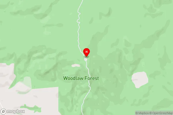
SouthlandWoodlaw Region Map
Coordinates
-46.01555,167.89959 (latitude/longitude)Distances
The distance from Woodlaw, Otautau, Southland District to NZ Top 10 Cities