Blackmount Area, Blackmount Postcode & Map in Blackmount
Blackmount Area, Blackmount Postcode & Map in Blackmount, Southland District, New Zealand
Blackmount, Southland District, New Zealand
Blackmount Area (estimated)
333.9 square kilometersBlackmount Population (estimated)
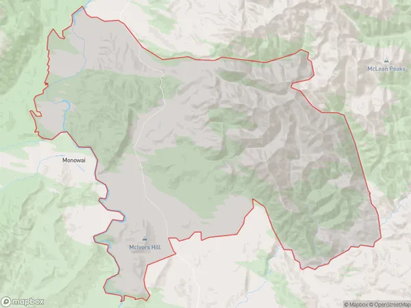
26 people live in Blackmount, Tuatapere Te Waewae Community, NZBlackmount Suburb Area Map (Polygon)
Blackmount Introduction
Blackmount is a small rural community in Otautau, Southland, New Zealand. It is located on the banks of the Mataura River and is surrounded by stunning natural scenery. The community has a primary school, a post office, and a small supermarket. Blackmount is a popular destination for outdoor enthusiasts, with many hiking and biking trails nearby. The area is also known for its farming community, with many farms producing wool, beef, and lamb.Region
Major City
Suburb Name
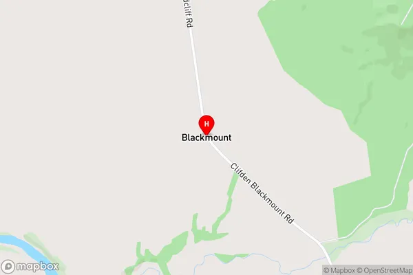
BlackmountBlackmount Area Map (Street)
Local Authority
Southland DistrictFull Address
Blackmount, Southland District, New ZealandAddress Type
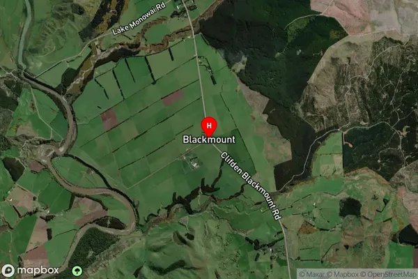
Locality in Town OtautauBlackmount Suburb Map (Satellite)
Country
Main Region in AU
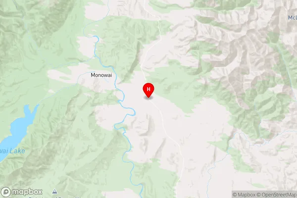
SouthlandBlackmount Region Map
Coordinates
-45.806149,167.6766652 (latitude/longitude)Distances
The distance from Blackmount, Otautau, Southland District to NZ Top 10 Cities