Eastern Bush Area, Eastern Bush Postcode(9682) & Map in Eastern Bush
Eastern Bush Area, Eastern Bush Postcode(9682) & Map in Eastern Bush, Southland District, New Zealand
Eastern Bush, Southland District, New Zealand
Eastern Bush Postcodes
Eastern Bush Area (estimated)
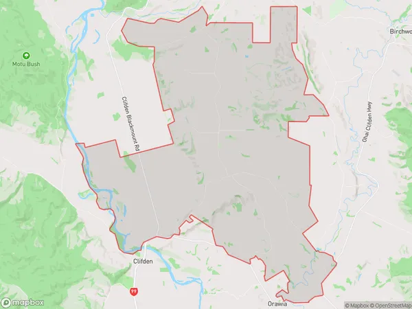
101.8 square kilometersEastern Bush Population (estimated)
145 people live in Eastern Bush, Tuatapere Te Waewae Community, NZEastern Bush Suburb Area Map (Polygon)
Eastern Bush Introduction
Otautau is a small town in Southland, New Zealand, with a population of around 2,000 people. It is known for its scenic surroundings, including the Otautau Beach and the Otautau Downs. The town is also home to a number of historic buildings, including the Otautau Hotel and the Otautau Museum. The town is located on the southern coast of New Zealand's South Island, and is surrounded by farmland and forest.Region
Major City
Suburb Name
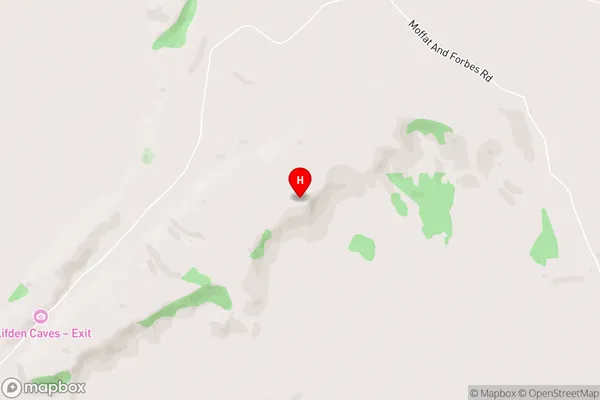
Eastern BushEastern Bush Area Map (Street)
Local Authority
Southland DistrictFull Address
Eastern Bush, Southland District, New ZealandAddress Type
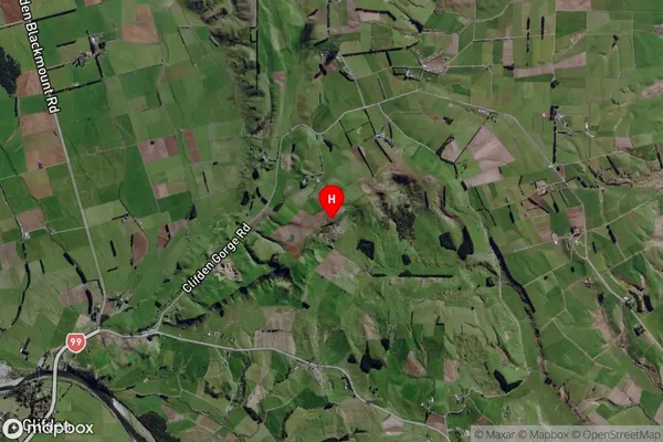
Locality in Town OtautauEastern Bush Suburb Map (Satellite)
Country
Main Region in AU
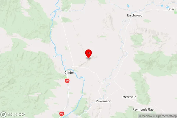
SouthlandEastern Bush Region Map
Coordinates
-46.013209,167.760483 (latitude/longitude)Distances
The distance from Eastern Bush, Otautau, Southland District to NZ Top 10 Cities