Pukemaori Area, Pukemaori Postcode & Map in Pukemaori
Pukemaori Area, Pukemaori Postcode & Map in Pukemaori, Southland District, New Zealand
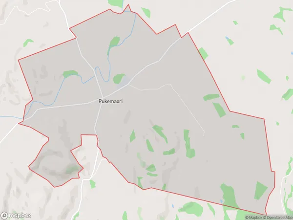
Pukemaori, Southland District, New Zealand
Pukemaori Area (estimated)
13.8 square kilometersPukemaori Population (estimated)
36 people live in Pukemaori, Tuatapere Te Waewae Community, NZPukemaori Suburb Area Map (Polygon)
Pukemaori Introduction
Pukemaori, Otautau, Southland, NZ, is a small rural town with a population of around 1,000 people. It is located in the southern part of Southland and is known for its scenic surroundings, including the nearby Mount Te Aroha and the Ohinemuri River. The town has a primary school, a post office, a supermarket, and a few cafes and restaurants. The local economy is primarily based on farming and forestry, with some tourism and hospitality also contributing to the local economy.Region
Major City
Suburb Name
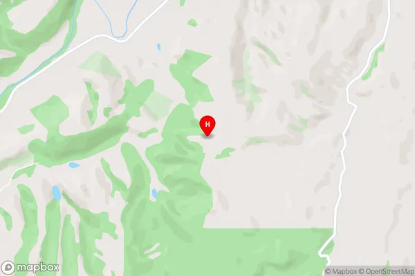
PukemaoriPukemaori Area Map (Street)
Local Authority
Southland DistrictFull Address
Pukemaori, Southland District, New ZealandAddress Type
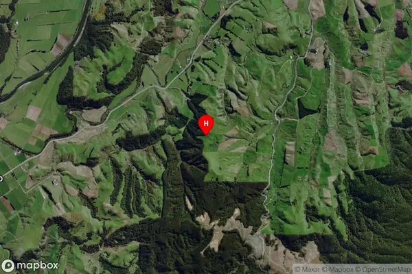
Locality in Town OtautauPukemaori Suburb Map (Satellite)
Country
Main Region in AU
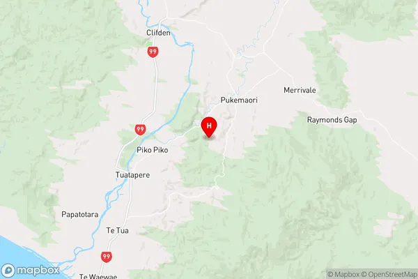
SouthlandPukemaori Region Map
Coordinates
-46.108186,167.76607 (latitude/longitude)Distances
The distance from Pukemaori, Otautau, Southland District to NZ Top 10 Cities