Aparima Area, Aparima Postcode & Map in Aparima
Aparima Area, Aparima Postcode & Map in Aparima, Southland District,
Aparima, Southland District,
Aparima Area (estimated)
24.4 square kilometersAparima Population (estimated)
71 people live in Aparima, Otautau, NZAparima Suburb Area Map (Polygon)
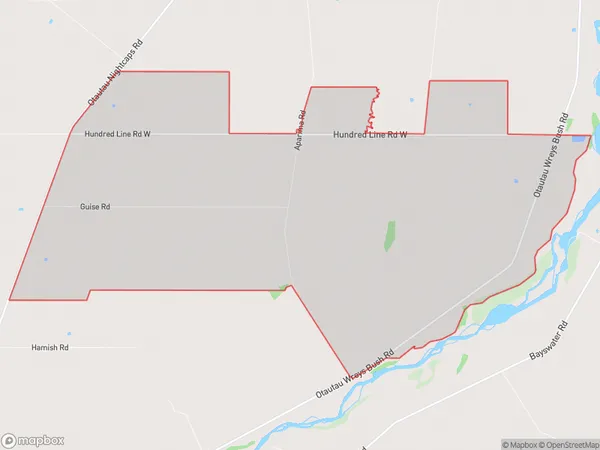
Aparima Introduction
Aparima is a small town in Southland, New Zealand, with a population of around 1,200 people. It is located on the banks of the Aparima River and is known for its historic gold mining and farming heritage. The town has a variety of recreational facilities, including a golf course, a swimming pool, and a sports complex. It is also home to the Aparima Gorge, a popular hiking and climbing destination.Region
Major City
Suburb Name
AparimaAparima Area Map (Street)
Local Authority
Southland DistrictFull Address
Aparima, Southland District,Address Type
Locality in Town OtautauAparima Suburb Map (Satellite)
Country
Main Region in AU
SouthlandAparima Region Map
Coordinates
0,0 (latitude/longitude)Distances
The distance from Aparima, Otautau, Southland District to NZ Top 10 Cities