Scotts Gap Area, Scotts Gap Postcode & Map in Scotts Gap
Scotts Gap Area, Scotts Gap Postcode & Map in Scotts Gap, Southland District, New Zealand
Scotts Gap, Southland District, New Zealand
Scotts Gap Area (estimated)
68.0 square kilometersScotts Gap Population (estimated)
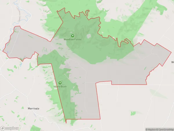
79 people live in Scotts Gap, Wallace Takitimu Community, NZScotts Gap Suburb Area Map (Polygon)
Scotts Gap Introduction
Scotts Gap is a small settlement located in Otautau, Southland, New Zealand. It is situated on State Highway 6, between Gore and Invercargill, and is known for its stunning mountain views and scenic surroundings. The area is popular with outdoor enthusiasts and tourists, who enjoy hiking, mountain biking, and skiing in the nearby mountains.Region
Major City
Suburb Name
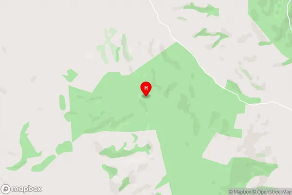
Scotts GapScotts Gap Area Map (Street)
Local Authority
Southland DistrictFull Address
Scotts Gap, Southland District, New ZealandAddress Type
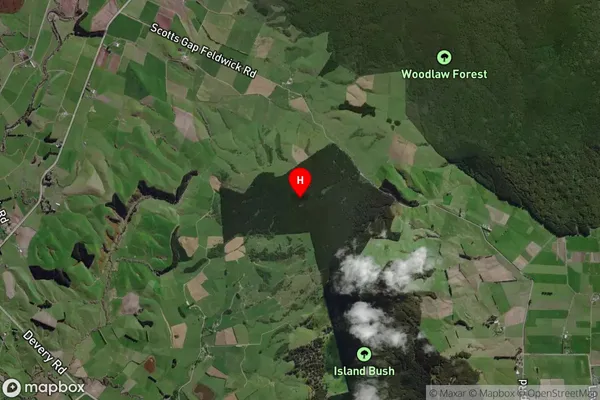
Locality in Town OtautauScotts Gap Suburb Map (Satellite)
Country
Main Region in AU
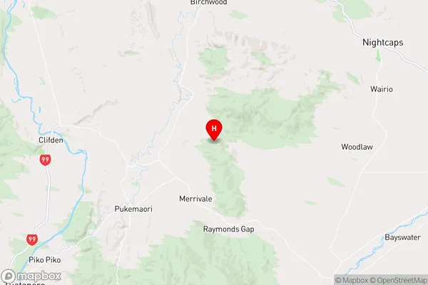
SouthlandScotts Gap Region Map
Coordinates
-46.036854,167.873218 (latitude/longitude)Distances
The distance from Scotts Gap, Otautau, Southland District to NZ Top 10 Cities