Ringway Area, Ringway Postcode(9610) & Map in Ringway
Ringway Area, Ringway Postcode(9610) & Map in Ringway, Southland District, New Zealand
Ringway, Southland District, New Zealand
Ringway Postcodes
Ringway Area (estimated)
33.4 square kilometersRingway Population (estimated)
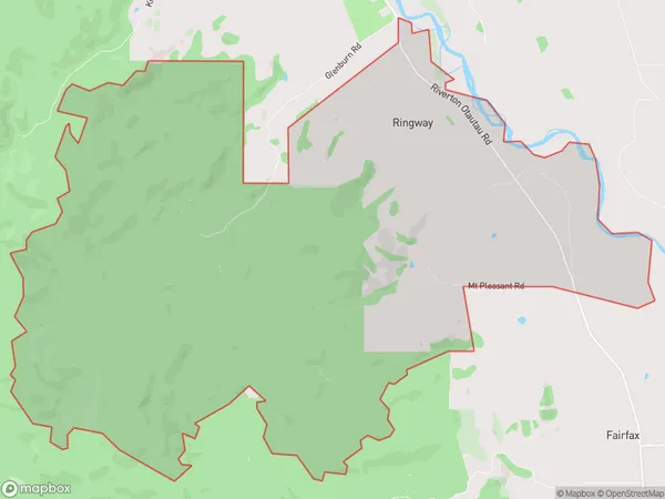
20 people live in Ringway, Wallace Takitimu Community, NZRingway Suburb Area Map (Polygon)
Ringway Introduction
Ringway is a small rural community in Otautau, Southland, New Zealand. It is located on State Highway 6, approximately 10 kilometers south of Otautau and 22 kilometers north of Invercargill. The community has a population of around 100 people and is known for its scenic surroundings, including the Ringway Forest Park and the nearby Ringway Lake.Region
Major City
Suburb Name
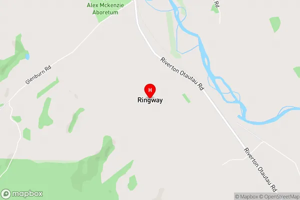
RingwayRingway Area Map (Street)
Local Authority
Southland DistrictFull Address
Ringway, Southland District, New ZealandAddress Type
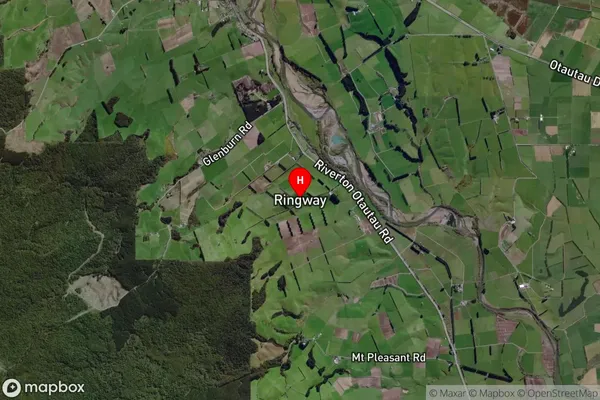
Locality in Town OtautauRingway Suburb Map (Satellite)
Country
Main Region in AU
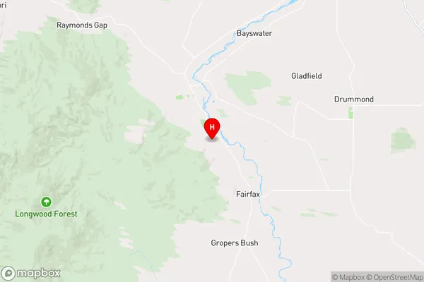
SouthlandRingway Region Map
Coordinates
-46.17298,168.0137 (latitude/longitude)Distances
The distance from Ringway, Otautau, Southland District to NZ Top 10 Cities