Otautau Area, Otautau Postcode(9610) & Map in Otautau
Otautau Area, Otautau Postcode(9610) & Map in Otautau, Southland District, New Zealand
Otautau, Southland District, New Zealand
Otautau Area (estimated)
54.6 square kilometersOtautau Population (estimated)
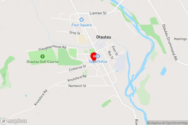
909 people live in Otautau, Wallace Takitimu Community, NZOtautau Suburb Area Map (Polygon)

Otautau Introduction
Otautau is a small town in Southland, New Zealand, with a population of around 4,000 people. It is known for its historic buildings, including the Otautau Hotel, which was built in 1878. The town is also home to a variety of industries, including farming and manufacturing. Otautau is located on the southern coast of New Zealand's South Island and is surrounded by stunning natural scenery, including mountains, forests, and beaches.Region
Major City
Suburb Name
OtautauOtautau Area Map (Street)
Local Authority
Southland DistrictFull Address
Otautau, Southland District, New ZealandAddress Type
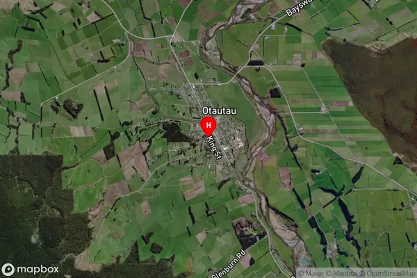
Suburb in Town OtautauOtautau Suburb Map (Satellite)
Country
Main Region in AU
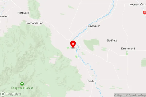
SouthlandOtautau Region Map
Coordinates
-46.1446977,167.996302 (latitude/longitude)Distances
The distance from Otautau, Otautau, Southland District to NZ Top 10 Cities