Wairio Area, Wairio Postcode(9630) & Map in Wairio
Wairio Area, Wairio Postcode(9630) & Map in Wairio, Southland District, New Zealand
Wairio, Southland District, New Zealand
Wairio Postcodes
Wairio Area (estimated)
43.5 square kilometersWairio Population (estimated)
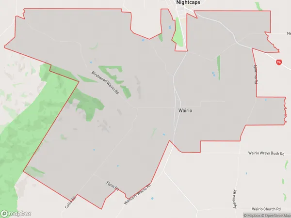
106 people live in Wairio, Wallace Takitimu Community, NZWairio Suburb Area Map (Polygon)
Wairio Introduction
Wairio is a small town in Southland, New Zealand, with a population of around 300 people. It is located on the banks of the Wairio River and is known for its scenic surroundings, including the Wairio Forest Park and the Wairio Power Station. The town is also home to a number of historic buildings, including the Wairio Hotel and the Wairio Cemetery.Region
Major City
Suburb Name
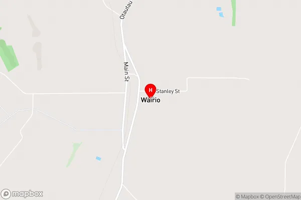
WairioWairio Area Map (Street)
Local Authority
Southland DistrictFull Address
Wairio, Southland District, New ZealandAddress Type
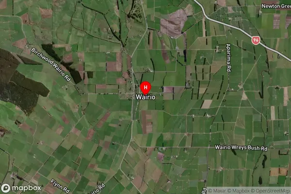
Locality in Town OtautauWairio Suburb Map (Satellite)
Country
Main Region in AU
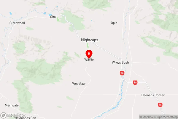
SouthlandWairio Region Map
Coordinates
-46.0011648,168.0344727 (latitude/longitude)Distances
The distance from Wairio, Otautau, Southland District to NZ Top 10 Cities