Opio Area, Opio Postcode & Map in Opio
Opio Area, Opio Postcode & Map in Opio, Southland District, New Zealand
Opio, Southland District, New Zealand
Opio Area (estimated)
51.5 square kilometersOpio Population (estimated)
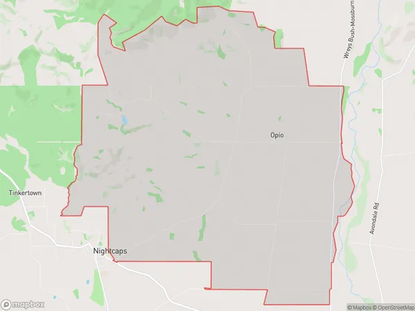
82 people live in Opio, Wallace Takitimu Community, NZOpio Suburb Area Map (Polygon)
Opio Introduction
Opio is a small rural community in Southland, New Zealand, located in the Otautau District. It is known for its scenic surroundings, including the Opio River and the surrounding hills. The community has a population of around 100 people and is home to a primary school, a church, and a few small businesses.Region
Major City
Suburb Name
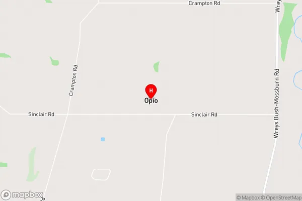
OpioOpio Area Map (Street)
Local Authority
Southland DistrictFull Address
Opio, Southland District, New ZealandAddress Type
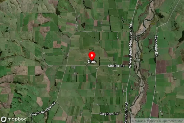
Locality in Town OtautauOpio Suburb Map (Satellite)
Country
Main Region in AU
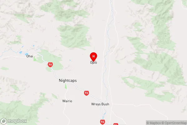
SouthlandOpio Region Map
Coordinates
-45.9423478,168.0924509 (latitude/longitude)Distances
The distance from Opio, Otautau, Southland District to NZ Top 10 Cities