Hazletts Area, Hazletts Postcode & Map in Hazletts
Hazletts Area, Hazletts Postcode & Map in Hazletts, Southland District, New Zealand
Hazletts, Southland District, New Zealand
Hazletts Area (estimated)
15.7 square kilometersHazletts Population (estimated)
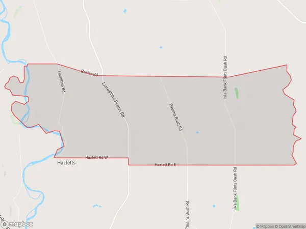
25 people live in Hazletts, Southland, NZHazletts Suburb Area Map (Polygon)
Hazletts Introduction
Hazletts is a small rural town in Southland, New Zealand, located on the Otago Central Rail Trail. It is known for its historic buildings and scenic surroundings, and is a popular stop for tourists traveling through the region. The town has a population of around 100 people and is situated in the heart of the Otago Central Valley.Region
Major City
Suburb Name
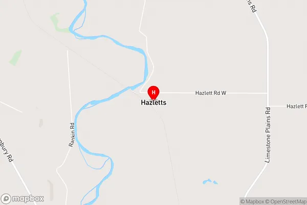
HazlettsHazletts Area Map (Street)
Local Authority
Southland DistrictFull Address
Hazletts, Southland District, New ZealandAddress Type
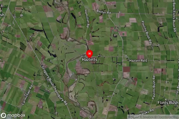
Locality in Town OtautauHazletts Suburb Map (Satellite)
Country
Main Region in AU
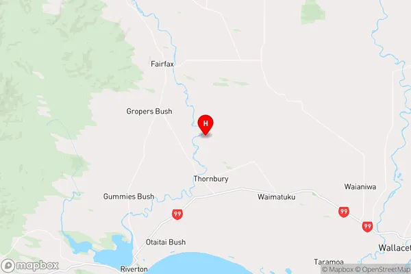
SouthlandHazletts Region Map
Coordinates
-46.2595,168.09196 (latitude/longitude)Distances
The distance from Hazletts, Otautau, Southland District to NZ Top 10 Cities