Wreys Bush Area, Wreys Bush Postcode & Map in Wreys Bush
Wreys Bush Area, Wreys Bush Postcode & Map in Wreys Bush, Southland District, New Zealand
Wreys Bush, Southland District, New Zealand
Wreys Bush Area (estimated)
36.7 square kilometersWreys Bush Population (estimated)
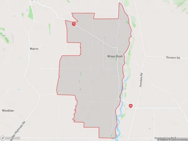
111 people live in Wreys Bush, Wallace Takitimu Community, NZWreys Bush Suburb Area Map (Polygon)
Wreys Bush Introduction
Wreys Bush is a small rural community in Otautau, Southland, New Zealand. It is located on State Highway 6, approximately 12 kilometers south of Otautau and 22 kilometers north of Invercargill. The area is known for its scenic rural landscapes, including rolling hills, farmland, and picturesque rivers. Wreys Bush has a population of around 100 people and is home to a variety of businesses, including a hotel, a convenience store, and a petrol station. The community also has a primary school and a church.Region
Major City
Suburb Name
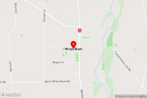
Wreys BushWreys Bush Area Map (Street)
Local Authority
Southland DistrictFull Address
Wreys Bush, Southland District, New ZealandAddress Type
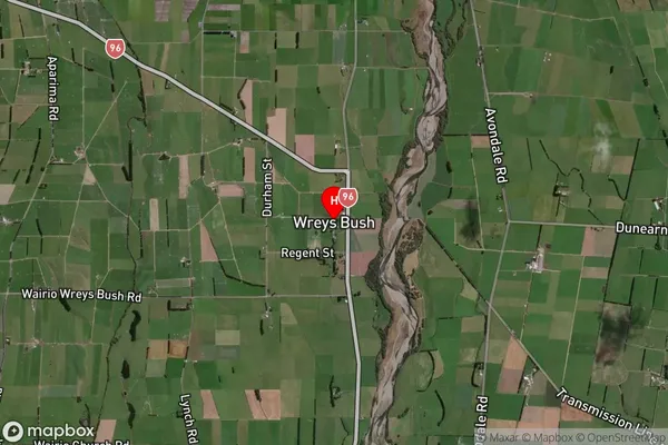
Locality in Town OtautauWreys Bush Suburb Map (Satellite)
Country
Main Region in AU
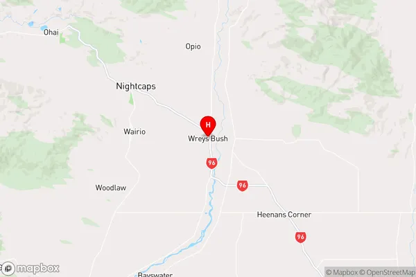
SouthlandWreys Bush Region Map
Coordinates
-46.0058752,168.1072346 (latitude/longitude)Distances
The distance from Wreys Bush, Otautau, Southland District to NZ Top 10 Cities