Birchwood Area, Birchwood Postcode(9635) & Map in Birchwood
Birchwood Area, Birchwood Postcode(9635) & Map in Birchwood, Southland District, New Zealand
Birchwood, Southland District, New Zealand
Birchwood Postcodes
Birchwood Area (estimated)
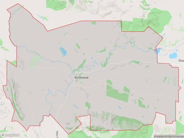
81.9 square kilometersBirchwood Population (estimated)
63 people live in Birchwood, Wallace Takitimu Community, NZBirchwood Suburb Area Map (Polygon)
Birchwood Introduction
Birchwood is a small rural town in Southland, New Zealand, located on the Otautau River. It is known for its scenic surroundings, including the Birchwood Forest and the Otautau Hills. The town has a population of around 200 people and is a popular destination for outdoor enthusiasts, with many opportunities for hiking, fishing, and hunting.Region
Major City
Suburb Name
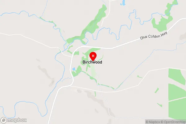
BirchwoodBirchwood Area Map (Street)
Local Authority
Southland DistrictFull Address
Birchwood, Southland District, New ZealandAddress Type
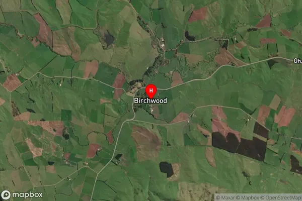
Locality in Town OtautauBirchwood Suburb Map (Satellite)
Country
Main Region in AU
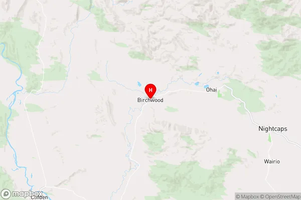
SouthlandBirchwood Region Map
Coordinates
-45.9424552,167.868313 (latitude/longitude)Distances
The distance from Birchwood, Otautau, Southland District to NZ Top 10 Cities