Otahu Flat Area, Otahu Flat Postcode & Map in Otahu Flat
Otahu Flat Area, Otahu Flat Postcode & Map in Otahu Flat, Southland District, New Zealand
Otahu Flat, Southland District, New Zealand
Otahu Flat Area (estimated)
27.2 square kilometersOtahu Flat Population (estimated)
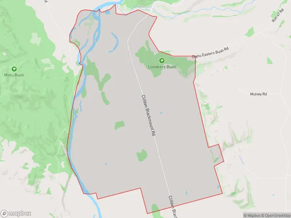
31 people live in Otahu Flat, Tuatapere Te Waewae Community, NZOtahu Flat Suburb Area Map (Polygon)
Otahu Flat Introduction
Otahu Flat is a historic homestead in Otautau, Southland, New Zealand. It was built in the 1860s and is significant as a well-preserved example of a rural settler's home in the region. The homestead is surrounded by farmland and has a variety of historic buildings, including a cottage, stable, and barn. The property is also home to a collection of vintage vehicles and machinery. Otahu Flat is managed by the Southland Heritage Trust and is open to the public for tours and events.Region
Major City
Suburb Name
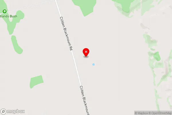
Otahu FlatOtahu Flat Area Map (Street)
Local Authority
Southland DistrictFull Address
Otahu Flat, Southland District, New ZealandAddress Type
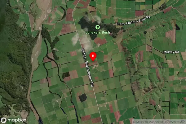
Locality in Town OtautauOtahu Flat Suburb Map (Satellite)
Country
Main Region in AU
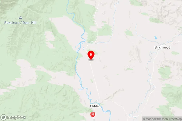
SouthlandOtahu Flat Region Map
Coordinates
-45.9632175,167.7065134 (latitude/longitude)Distances
The distance from Otahu Flat, Otautau, Southland District to NZ Top 10 Cities