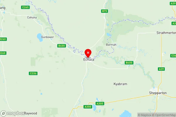
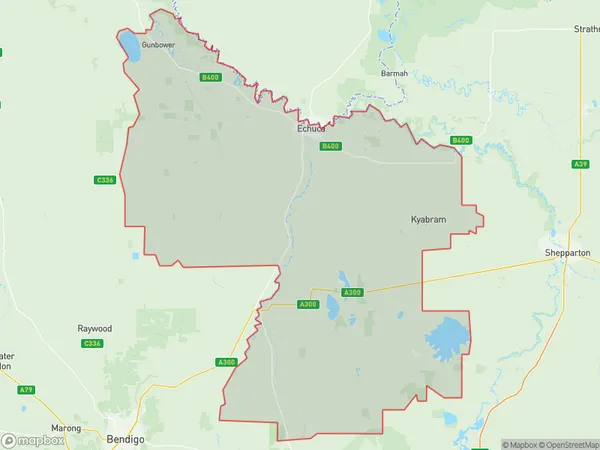
Campaspe Suburbs & Region, Campaspe Map & Postcodes
Campaspe Suburbs & Region, Campaspe Map & Postcodes in Campaspe, Shepparton, VIC, AU
Campaspe Region
Region Name
Campaspe (VIC, AU)Campaspe Area
4555 square kilometers (4,555 ㎢)Postal Codes
2731, 3523, 3551, from 3557 to 3559, from 3561 to 3566, 3572, 3573, 3612, 3621, 3622, and 3624 (In total, there are 18 postcodes in Campaspe.)Campaspe Introduction
Campaspe is a locality in the City of Greater Shepparton local government area, Victoria, Australia. It is located on the Campaspe River, 12 km north of Shepparton's central business district. The post office opened as Numurkah on 1 October 1879 and was closed on 1 March 1927. It was reopened as Campaspe on 1 July 1928 and closed again on 1 October 1971. The present post office opened on 1 July 1972. The Campaspe railway station was located on the Shepparton line. It opened on 1 October 1889 and closed on 1 October 1975. A primary school opened in 1879 and closed in 1966. A Catholic primary school opened in 1902 and closed in 1971. A secondary college opened in 1966 and closed in 1992. The Campaspe Showground is located on the Campaspe River. It hosts the annual Campaspe Show on the third Wednesday in March. The Campaspe Reservoir is located north of the township. It was built in 1913 to supply water to the town. The Campaspe Riverwalk is a walking and cycling path that follows theAustralia State
City or Big Region
District or Regional Area
Campaspe Region Map

Campaspe Postcodes / Zip Codes
Campaspe Suburbs
Minto St Andrews
Maryborough Region
Maiden Gully
Strathfieldsaye
Bendigo Region South
Lockington Gunbower
Campaspe full address
Campaspe, Shepparton, Victoria, VIC, Australia, SaCode: 21601Country
Campaspe, Shepparton, Victoria, VIC, Australia, SaCode: 21601
Campaspe Suburbs & Region, Campaspe Map & Postcodes has 11 areas or regions above, and there are 130 Campaspe suburbs below. The sa3code for the Campaspe region is 21601. Its latitude and longitude coordinates are -36.1207,144.745.
Campaspe Suburbs & Localities
1. Tantonan
2. Moama
3. Womboota
4. Bunnaloo
5. Thyra
6. Derrinal
7. Bendigo Forward
8. Cornella
9. Huntly North
10. Kimbolton
11. Lockwood
12. Lockwood South
13. Longlea
14. Mosquito Creek
15. Murphys Creek
16. Painswick
17. Sedgwick
18. Strathfieldsaye
19. Barnadown
20. Burnewang
21. Runnymede
22. Colbinabbin
23. Bonn
24. Fairy Dell
25. Lockington
26. Heathcote
27. Knowsley
28. Redcastle
29. Arnold
30. Arnold West
31. Axedale
32. Emu Creek
33. Huntly
34. Myola East
35. Waanyarra
36. Wellsford
37. Lyndale
38. Ballendella
39. Diggora West
40. Nanneella
41. Rochester West
42. Torrumbarry
43. Echuca
44. Echuca East
45. Echuca Village
46. Patho West
47. Roslynmead
48. Piavella
49. Mitiamo
50. Pine Grove
51. Pine Grove East
52. Moora
53. Wanalta
54. Whroo
55. Koyuga
56. Strathallan
57. Campaspe West
58. Echuca West
59. Simmie
60. Wharparilla
61. Milloo
62. Prairie
63. Tennyson
64. Terrick Terrick East
65. Rushworth
66. Waranga
67. Ky Valley
68. Cornelia Creek
69. Argyle
70. Mount Camel
71. Ascot
72. Bagshot
73. Creek View
74. Eppalock
75. Epsom
76. Junortoun
77. Lake Eppalock
78. Myrtle Creek
79. Toolleen
80. Fosterville
81. Muskerry
82. Muskerry East
83. Corop West
84. Creek View
85. Elmore
86. Hunter
87. Corop
88. Gobarup
89. Runnymede
90. Bamawm Extension
91. Diggora
92. The Settlement
93. Bamawm Extension
94. Kotta
95. Costerfield
96. Heathcote South
97. Ladys Pass
98. Moormbool West
99. Axe Creek
100. Bagshot North
101. Llanelly
102. Maiden Gully
103. Mandurang
104. Mandurang South
105. Minto
106. Myola
107. Newbridge
108. Pilchers Bridge
109. Tarnagulla
110. Woodstock On Loddon
111. Goornong
112. Avonmore
113. Burramboot
114. Mayreef
115. Gunbower
116. Calivil
117. Kyvalley
118. Tongala
119. Yambuna
120. Girgarre
121. Bamawm
122. Rochester
123. Timmering
124. Echuca South
125. Kanyapella
126. Mcevoys
127. Patho
128. Waranga Shores
129. Koyuga South
130. Ky West
