Rochester Suburbs & Region, Rochester Map & Postcodes
Rochester Suburbs & Region, Rochester Map & Postcodes in Rochester, Campaspe, Shepparton, VIC, AU
Rochester Region
Region Name
Rochester (VIC, AU)Rochester Area
351.64 square kilometers (351.64 ㎢)Rochester Suburb Area Map (Polygon)

Rochester Introduction
Rochester is a small township located in the Goulburn Valley region of Victoria, Australia. It is situated approximately 125 kilometers north-east of Melbourne and 10 kilometers south-west of Shepparton. The town is surrounded by farmland and is known for its agricultural industry, particularly the production of wheat and cotton. Rochester has a population of around 2,000 people and is home to a number of historic buildings, including the Rochester Hotel and the Rochester Post Office. The town also has a community hall, a swimming pool, and a cricket club. The nearby Lake Nagambie provides opportunities for fishing, boating, and swimming, and the Goulburn River is a popular spot for water-based activities such as kayaking and canoeing.Australia State
City or Big Region
Greater Capital City
Rest of Vic. (2RVIC)District or Regional Area
Suburb Name
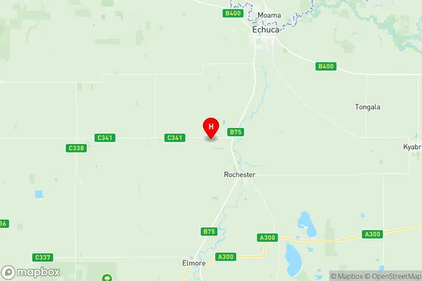
Rochester Region Map
Rochester Suburbs
Rochester full address
Rochester, Campaspe, Shepparton, Victoria, VIC, Australia, SaCode: 216011409Country
Rochester, Campaspe, Shepparton, Victoria, VIC, Australia, SaCode: 216011409
Rochester Suburbs & Region, Rochester Map & Postcodes has 0 areas or regions above, and there are 0 Rochester suburbs below. The sa2code for the Rochester region is 216011409. Its latitude and longitude coordinates are -36.3032,144.645. Rochester area belongs to Australia's greater capital city Rest of Vic..