Strathallan Area, Strathallan Postcode(3622) & Map in Strathallan, Shepparton, VIC
Strathallan Area, Strathallan Postcode(3622) & Map in Strathallan, Shepparton, VIC, AU, Postcode: 3622
Strathallan, Rochester, Campaspe, Shepparton, Victoria, Australia, 3622
Strathallan Postcode
Area Name
StrathallanStrathallan Suburb Area Map (Polygon)

Strathallan Introduction
Strathallan is a historic mansion located in Shepparton, Victoria, Australia. It was built in 1880 by the wealthy Scottish settler John McDouall Stuart and is now a heritage-listed building and museum. The mansion is renowned for its grand architecture, stunning gardens, and rich history, and it is a popular tourist attraction.State Name
City or Big Region
District or Regional Area
Suburb Name
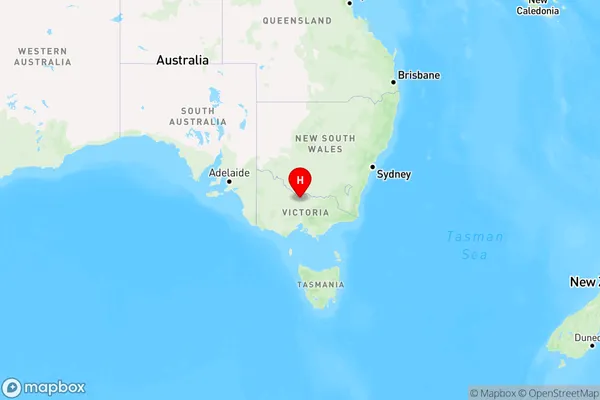
Strathallan Region Map

Country
Main Region in AU
R3Coordinates
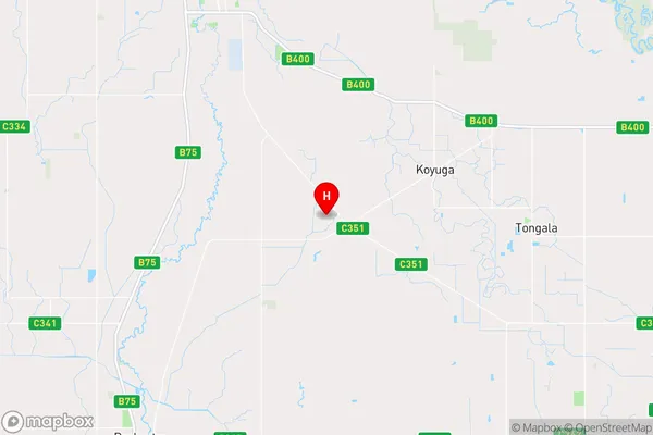
-36.2449977,144.8184741 (latitude/longitude)Strathallan Area Map (Street)

Longitude
144.87573Latitude
-36.231961Strathallan Elevation
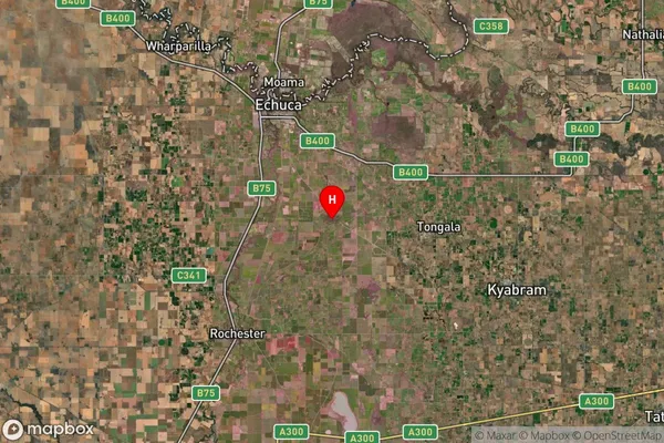
about 100.00 meters height above sea level (Altitude)Strathallan Suburb Map (Satellite)

Distances
The distance from Strathallan, Shepparton, VIC to AU Greater Capital CitiesSA1 Code 2011
21601140902SA1 Code 2016
21601140902SA2 Code
216011409SA3 Code
21601SA4 Code
216RA 2011
2RA 2016
2MMM 2015
5MMM 2019
3Charge Zone
V2LGA Region
CampaspeLGA Code
21370Electorate
Nicholls