Rochester Area, Rochester Postcode(3561) & Map in Rochester, Shepparton, VIC
Rochester Area, Rochester Postcode(3561) & Map in Rochester, Shepparton, VIC, AU, Postcode: 3561
Rochester, Rochester, Campaspe, Shepparton, Victoria, Australia, 3561
Rochester Postcode
Area Name
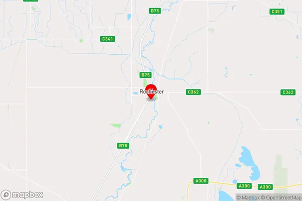
RochesterRochester Suburb Area Map (Polygon)

Rochester Introduction
Rochester, Shepparton, and VIC are towns in Australia's Goulburn Valley region. Rochester is the largest town, while Shepparton is the regional hub. The area is known for its agriculture, including wheat, cotton, and dairy farming. It also has a significant manufacturing industry, with a number of factories producing food and other products. The region is located approximately 150 kilometers north-east of Melbourne and has a population of around 300,000 people.State Name
City or Big Region
District or Regional Area
Suburb Name
Rochester Region Map

Country
Main Region in AU
R3Coordinates
-36.366667,144.7 (latitude/longitude)Rochester Area Map (Street)

Longitude
144.709543Latitude
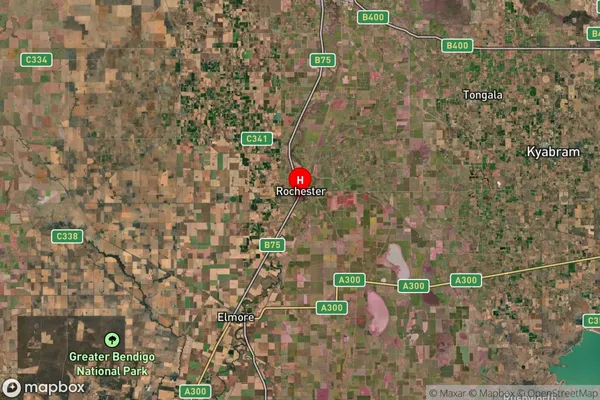
-36.321109Rochester Suburb Map (Satellite)

Distances
The distance from Rochester, Shepparton, VIC to AU Greater Capital CitiesSA1 Code 2011
21601140903SA1 Code 2016
21601140903SA2 Code
216011409SA3 Code
21601SA4 Code
216RA 2011
2RA 2016
2MMM 2015
5MMM 2019
5Charge Zone
V2LGA Region
CampaspeLGA Code
21370Electorate
Nicholls