Thyra Area, Thyra Postcode(2731) & Map in Thyra, Murray, NSW
Thyra Area, Thyra Postcode(2731) & Map in Thyra, Murray, NSW, AU, Postcode: 2731
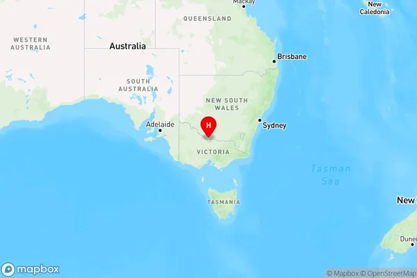
Thyra, Deniliquin Region, Upper Murray exc. Albury, Murray, New South Wales, Australia, 2731
Thyra Postcode
Area Name
ThyraThyra Suburb Area Map (Polygon)

Thyra Introduction
Thyra is a small town in New South Wales, Australia, located on the Murray River. It is known for its historic buildings, including the Old Courthouse and the Murray River Bridge. The town has a population of around 1,000 people and is a popular destination for fishing, boating, and camping.State Name
City or Big Region
District or Regional Area
Suburb Name
Thyra Region Map
Country
Main Region in AU
R3Coordinates
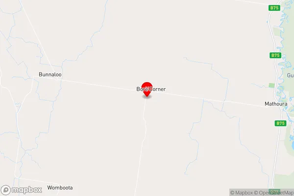
-35.8084538,144.7203689 (latitude/longitude)Thyra Area Map (Street)
Longitude
144.7439889Latitude
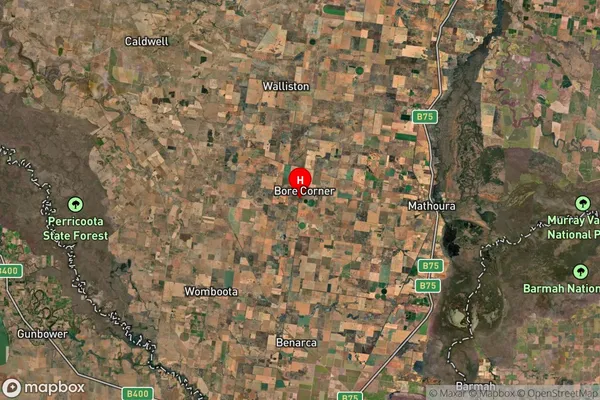
-35.84487627Thyra Suburb Map (Satellite)
Distances
The distance from Thyra, Murray, NSW to AU Greater Capital CitiesSA1 Code 2011
10903118317SA1 Code 2016
10903118317SA2 Code
109031183SA3 Code
10903SA4 Code
109RA 2011
3RA 2016
3MMM 2015
5MMM 2019
5Charge Zone
V2LGA Region
Murray RiverLGA Code
15520Electorate
Farrer