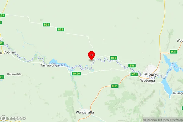
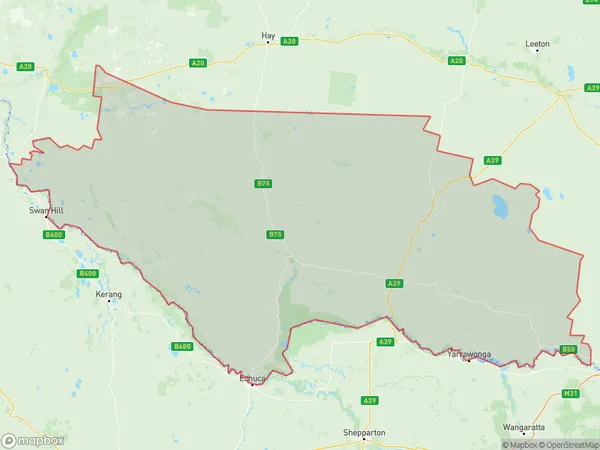
Upper Murray exc. Albury Suburbs & Region, Upper Murray exc. Albury Map & Postcodes
Upper Murray exc. Albury Suburbs & Region, Upper Murray exc. Albury Map & Postcodes in Upper Murray exc. Albury, Murray, NSW, AU
Upper Murray exc. Albury Region
Region Name
Upper Murray exc. Albury (NSW, AU)Upper Murray exc. Albury Area
28232 square kilometers (28,232 ㎢)Postal Codes
2643, 2646, 2647, 2713, and 2733 (In total, there are 5 postcodes in Upper Murray exc. Albury.)Upper Murray exc. Albury Introduction
Upper Murray exc. Albury, Murray, New South Wales, AU, is a locality in the Albury Wodonga region of New South Wales, Australia. It is located on the Murray River and is situated approximately 560 kilometers south-west of the state capital, Sydney. The town is a major agricultural center, with a large number of farms producing wheat, cotton, and other crops. It is also home to a number of wineries and a regional airport. The town has a population of around 10,000 people and is known for its historic architecture and scenic surroundings.Australia State
City or Big Region
District or Regional Area
Upper Murray exc. Albury Region Map

Upper Murray exc. Albury Postcodes / Zip Codes
Upper Murray exc. Albury Suburbs
Upper Murray exc. Albury full address
Upper Murray exc. Albury, Murray, New South Wales, NSW, Australia, SaCode: 10903Country
Upper Murray exc. Albury, Murray, New South Wales, NSW, Australia, SaCode: 10903
Upper Murray exc. Albury Suburbs & Region, Upper Murray exc. Albury Map & Postcodes has 1 areas or regions above, and there are 30 Upper Murray exc. Albury suburbs below. The sa3code for the Upper Murray exc. Albury region is 10903. Its latitude and longitude coordinates are -35.9833,146.383.
Upper Murray exc. Albury Suburbs & Localities
1. Coads Tank
2. Collendina
3. Corowa
4. Daysdale
5. Nyora
6. Redlands
7. Rennie
8. Sanger
9. Balldale
10. Coreen
11. Ringwood
12. Savernake
13. Howlong
14. Goombargana
15. Hopefield
16. Lowesdale
17. Oaklands
18. Bull Plain
19. Buraja
20. Merton Vale
21. Mulwala
22. Myrtle Park
23. Dhuragoon
24. Perekerten
25. Blighty
26. Logie Brae
27. Finley
28. Retreat
29. Moulamein
30. Niemur
