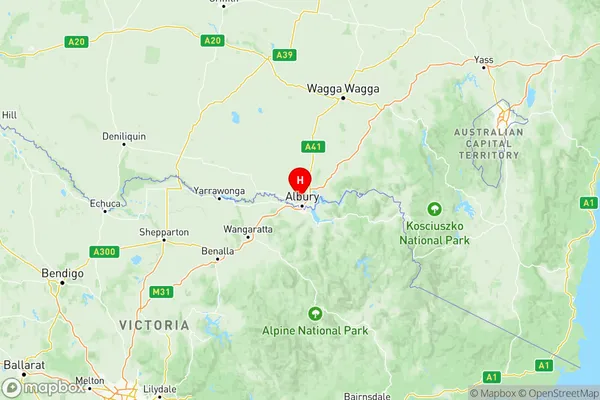
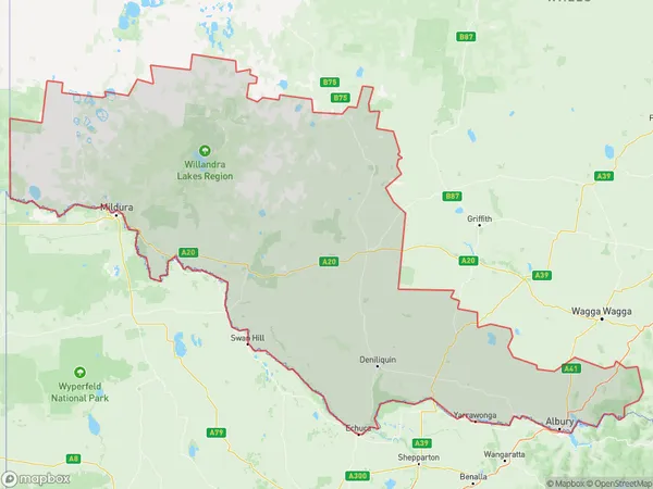
Murray Suburbs & Region, Murray Map & Postcodes
Murray Suburbs & Region, Murray Map & Postcodes in Murray, NSW, AU
Murray Region
Region Name
Murray (NSW, AU)Murray Area
97797 square kilometers (97,797 ㎢)Postal Codes
2641, 2643, from 2646 to 2648, 2659, 2660, 2713, 2717, 2733, 2736, 2737, 2739, and 2878 (In total, there are 14 postcodes in Murray.)Murray Introduction
Murray, Murray, New South Wales, AU, is a small town located in the Riverina region of New South Wales, Australia. It is situated on the banks of the Murray River and is approximately 350 kilometers southwest of Sydney. The town has a population of around 3,000 people and is known for its agriculture, particularly cotton farming. The town also has a historic railway station and a number of heritage-listed buildings. The nearby Murray River is a popular destination for fishing and boating, and the town hosts a number of festivals and events throughout the year, including the Murray River Country Music Festival.Australia State
City or Big Region
Murray Region Map

Murray Postcodes / Zip Codes
Murray Suburbs
Lower Murray
Upper Murray exc. Albury
Murray full address
Murray, New South Wales, NSW, Australia, SaCode: 109Country
Murray, New South Wales, NSW, Australia, SaCode: 109
Murray Suburbs & Region, Murray Map & Postcodes has 3 areas or regions above, and there are 71 Murray suburbs below. The sa4code for the Murray region is 109. Its latitude and longitude coordinates are -36.0257,146.893.
Murray Suburbs & Localities
1. Scotia
2. Manara
3. Hamilton Valley
4. Morven
5. Alma Park
6. Coomealla
7. Boeill Creek
8. Perekerten
9. Euston
10. Goodnight
11. Corowa
12. Howlong
13. Mulwala
14. Myrtle Park
