Scotia Area, Scotia Postcode(2648) & Map in Scotia, Far West and Orana, NSW
Scotia Area, Scotia Postcode(2648) & Map in Scotia, Far West and Orana, NSW, AU, Postcode: 2648
Scotia, Far West, Broken Hill and Far West, Far West and Orana, New South Wales, Australia, 2648
Scotia Postcode
Area Name
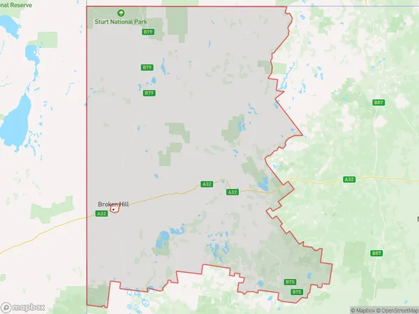
ScotiaScotia Suburb Area Map (Polygon)
Scotia Introduction
Scotia, Far West and Orana are three regions in New South Wales, Australia, known for their natural beauty, including the Blue Mountains, the Outback, and the Murray River. They offer a range of activities, including hiking, camping, fishing, and wine tasting.State Name
City or Big Region
District or Regional Area
Suburb Name
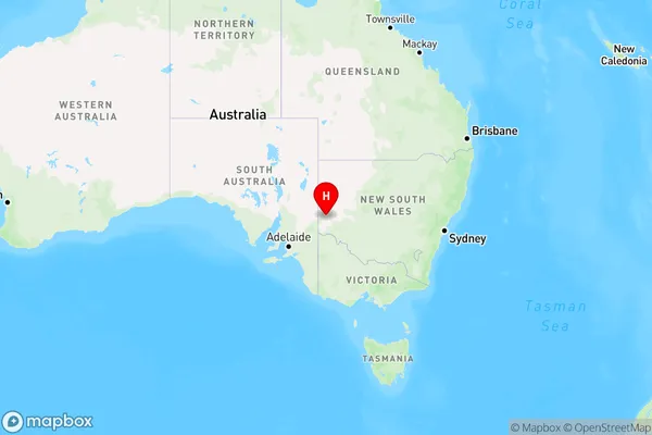
Scotia Region Map
Country
Main Region in AU
R3Coordinates
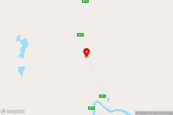
-32.9803593,141.6232997 (latitude/longitude)Scotia Area Map (Street)
Longitude
141.3075309Latitude
-33.27956077Scotia Elevation
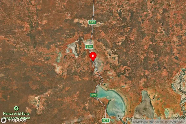
about 55.83 meters height above sea level (Altitude)Scotia Suburb Map (Satellite)
Distances
The distance from Scotia, Far West and Orana, NSW to AU Greater Capital CitiesSA1 Code 2011
10502109806SA1 Code 2016
10502109806SA2 Code
105021098SA3 Code
10502SA4 Code
105RA 2011
4RA 2016
4MMM 2015
6MMM 2019
6Charge Zone
V2LGA Region
WentworthLGA Code
18200Electorate
Parkes