Far West and Orana Suburbs & Region, Far West and Orana Map & Postcodes
Far West and Orana Suburbs & Region, Far West and Orana Map & Postcodes in Far West and Orana, NSW, AU
Far West and Orana Region
Region Name
Far West and Orana (NSW, AU)Far West and Orana Area
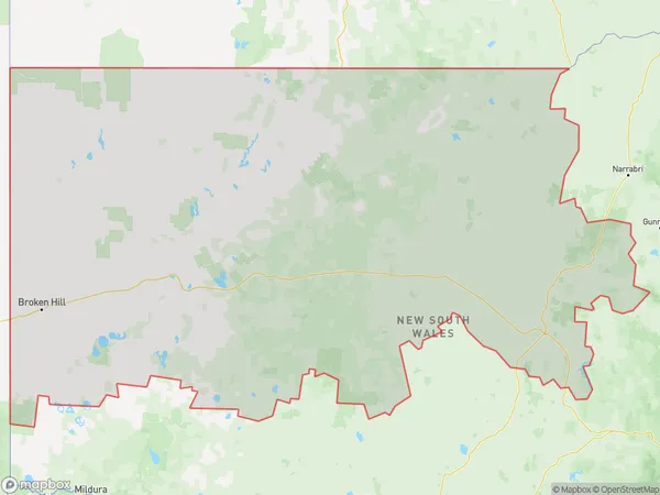
339356 square kilometers (339,356 ㎢)Far West and Orana Suburb Area Map (Polygon)
Far West and Orana Introduction
Far West and Orana is a locality in the City of Wollongong, New South Wales, Australia. It is located in the Illawarra region and is part of the Macarthur region. The population of Far West and Orana at the 2016 census was 10,598. The suburb is named after the Far West and Orana districts, which were established in the 1840s. The area is known for its agricultural industry, with many farms and wineries located in the surrounding area. The suburb also has a number of heritage-listed sites, including the Far West and Orana Historic Area and the Mount Werong Cemetery.Australia State
City or Big Region
Far West and Orana Region Map
Far West and Orana Suburbs
Bourke Cobar Coonamble
Broken Hill and Far West
Far West and Orana full address
Far West and Orana, New South Wales, NSW, Australia, SaCode: 105Country
Far West and Orana, New South Wales, NSW, Australia, SaCode: 105
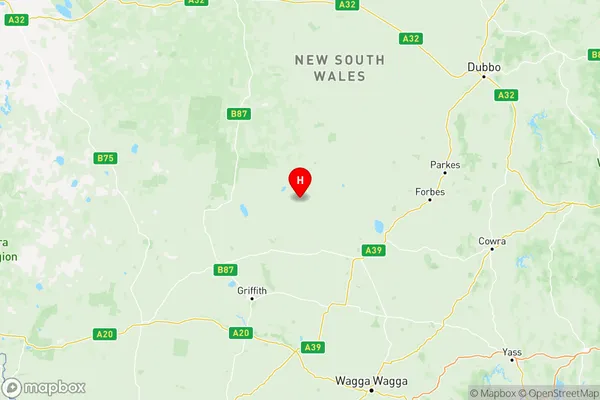
Far West and Orana Suburbs & Region, Far West and Orana Map & Postcodes has 3 areas or regions above, and there are 0 Far West and Orana suburbs below. The sa4code for the Far West and Orana region is 105. Its latitude and longitude coordinates are -33.3853,146.582.