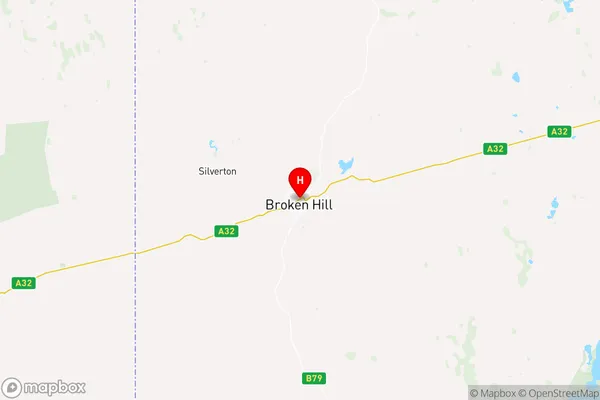
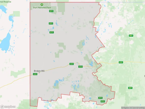
Broken Hill and Far West Suburbs & Region, Broken Hill and Far West Map & Postcodes
Broken Hill and Far West Suburbs & Region, Broken Hill and Far West Map & Postcodes in Broken Hill and Far West, Far West and Orana, NSW, AU
Broken Hill and Far West Region
Region Name
Broken Hill and Far West (NSW, AU)Broken Hill and Far West Area
146855 square kilometers (146,855 ㎢)Postal Codes
2836, 2840, 2879, and 2880 (In total, there are 4 postcodes in Broken Hill and Far West.)Broken Hill and Far West Introduction
Broken Hill and Far West, Far West and Orana, New South Wales, AU, is a remote and sparsely populated area known for its mining heritage and stunning natural landscapes. It is located in the far west of New South Wales and is part of the Far West and Orana region. The area is characterized by rugged mountains, vast plains, and dry scrubland. Broken Hill is the largest city in the region and is known for its rich mining history, with the iconic Broken Hill Mine being a major tourist attraction. The area is also home to the Outback Astronomy Observatory, which is one of the largest astronomical observatories in the Southern Hemisphere. The region is sparsely populated, with most of its residents living in the city of Broken Hill or the surrounding rural areas. The area has a warm, dry climate and is known for its spectacular sunsets and starry nights.Australia State
City or Big Region
District or Regional Area
Broken Hill and Far West Region Map

Broken Hill and Far West Postcodes / Zip Codes
Broken Hill and Far West Suburbs
Broken Hill and Far West full address
Broken Hill and Far West, Far West and Orana, New South Wales, NSW, Australia, SaCode: 10502Country
Broken Hill and Far West, Far West and Orana, New South Wales, NSW, Australia, SaCode: 10502
Broken Hill and Far West Suburbs & Region, Broken Hill and Far West Map & Postcodes has 4 areas or regions above, and there are 37 Broken Hill and Far West suburbs below. The sa3code for the Broken Hill and Far West region is 10502. Its latitude and longitude coordinates are -31.9539,141.454.
Broken Hill and Far West Suburbs & Localities
1. Fords Bridge
2. Hungerford
3. Wanaaring
4. Gemville
5. White Cliffs
6. Barringun
7. North Bourke
8. Tilpa
9. Urisino
10. Yantabulla
11. Bourke
12. Enngonia
13. Gumbalie
14. Wilcannia
15. Gunderbooka
16. Louth
17. Sunset Strip
18. Broken Hill West
19. Kinalung
20. Mutawintji
21. Packsaddle
22. Stephens Creek
23. Burns
24. Cameron Corner
25. Mount Gipps
26. South Broken Hill
27. Tibooburra
28. Copi Hollow
29. Broken Hill
30. Broken Hill North
31. Broughams Gate
32. Euriowie
33. Fowlers Gap
34. Little Topar
35. Milparinka
36. Menindee
37. Silverton
