Cobar Suburbs & Region, Cobar Map & Postcodes
Cobar Suburbs & Region, Cobar Map & Postcodes in Cobar, Broken Hill and Far West, Far West and Orana, NSW, AU
Cobar Region
Region Name
Cobar (NSW, AU)Cobar Area
45551 square kilometers (45,551 ㎢)Postal Codes
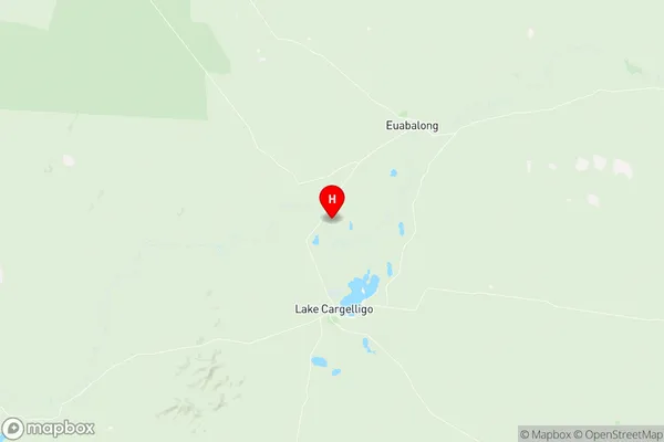
2672, 2831, 2835, 2840, and 2877 (In total, there are 5 postcodes in Cobar.)Cobar Suburb Area Map (Polygon)

Cobar Introduction
Cobar, Far West and Orana is a locality in the Far West region of New South Wales, Australia. It is situated on the Cobb Highway and is part of the Macarthur Irrigation Area. The town is surrounded by vast wheat and cotton fields and is a major hub for agricultural production in the region. Cobar is also home to the Cobar Copper Mine, one of the largest copper mines in the world. The town has a population of around 3,000 people and is known for its friendly community and historic architecture.Australia State
City or Big Region
Greater Capital City
Rest of NSW (1RNSW)District or Regional Area
Suburb Name
Cobar Region Map
Cobar Postcodes / Zip Codes
Cobar Suburbs
Cobar full address
Cobar, Broken Hill and Far West, Far West and Orana, New South Wales, NSW, Australia, SaCode: 105011093Country
Cobar, Broken Hill and Far West, Far West and Orana, New South Wales, NSW, Australia, SaCode: 105011093
Cobar Suburbs & Region, Cobar Map & Postcodes has 0 areas or regions above, and there are 20 Cobar suburbs below. The sa2code for the Cobar region is 105011093. Its latitude and longitude coordinates are -33.2067,146.371. Cobar area belongs to Australia's greater capital city Rest of NSW.
Cobar Suburbs & Localities
1. Murrin Bridge
2. Cubba
3. Cobar
4. Irymple
5. Noona
6. Sandy Creek
7. Tindarey
8. Tilpa
9. Nymagee
10. Kerrigundi
11. Lerida
12. Bulla
13. Canbelego
14. Gilgunnia
15. Kulwin
16. Euabalong
17. Euabalong West
18. Eremerang
19. Gilgunnia
20. Mount Hope