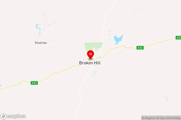
Broken Hill Suburbs & Region, Broken Hill Map & Postcodes
Broken Hill Suburbs & Region, Broken Hill Map & Postcodes in Broken Hill, Broken Hill and Far West, Far West and Orana, NSW, AU
Broken Hill Region
Region Name
Broken Hill (NSW, AU)Broken Hill Area
170.12 square kilometers (170.12 ㎢)Postal Codes
2880 (In total, there are 1 postcodes in Broken Hill.)Broken Hill Introduction
Broken Hill, Far West and Orana is a regional area of New South Wales, Australia. It is located in the far west of the state and is known for its rich mining history and stunning natural landscapes. The area is home to the iconic Broken Hill Mine, one of the world's largest and most productive iron ore mines. The region is also home to the Blue Mountains, a World Heritage-listed national park, and the Outback town of Wilcannia. The population of the area is around 20,000 people, and it is a popular destination for tourists and outdoor enthusiasts.Australia State
City or Big Region
Greater Capital City
Rest of NSW (1RNSW)District or Regional Area
Suburb Name
Broken Hill Region Map

Broken Hill Postcodes / Zip Codes
Broken Hill Suburbs
Broken Hill full address
Broken Hill, Broken Hill and Far West, Far West and Orana, New South Wales, NSW, Australia, SaCode: 105021097Country
Broken Hill, Broken Hill and Far West, Far West and Orana, New South Wales, NSW, Australia, SaCode: 105021097
Broken Hill Suburbs & Region, Broken Hill Map & Postcodes has 0 areas or regions above, and there are 4 Broken Hill suburbs below. The sa2code for the Broken Hill region is 105021097. Its latitude and longitude coordinates are -31.9539,141.454. Broken Hill area belongs to Australia's greater capital city Rest of NSW.
Broken Hill Suburbs & Localities
1. Broken Hill West
2. South Broken Hill
3. Broken Hill
4. Broken Hill North
