Bourke Cobar Coonamble Suburbs & Region, Bourke Cobar Coonamble Map & Postcodes
Bourke Cobar Coonamble Suburbs & Region, Bourke Cobar Coonamble Map & Postcodes in Bourke Cobar Coonamble, Far West and Orana, NSW, AU
Bourke Cobar Coonamble Region
Region Name
Bourke Cobar Coonamble (NSW, AU)Bourke Cobar Coonamble Area
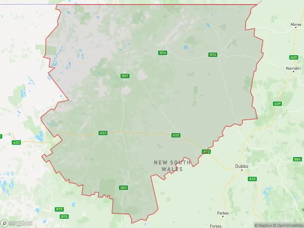
162762 square kilometers (162,762 ㎢)Bourke Cobar Coonamble Suburb Area Map (Polygon)
Bourke Cobar Coonamble Introduction
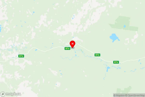
Bourke Cobar Coonamble, Far West and Orana, New South Wales, AU, is a regional town located in the Far West region of New South Wales, Australia. It is situated in the Cobar Shire and is a major service center for the surrounding agricultural and pastoral industries. The town has a population of around 3,000 people and is known for its historic buildings, including the Courthouse Museum and the Old Government Building. The town also has a variety of recreational facilities, including a golf course, a swimming pool, and a sportsground. The nearby Cobar National Park is a popular destination for tourists and offers a range of activities, including hiking, camping, and wildlife watching.Australia State
City or Big Region
District or Regional Area
Bourke Cobar Coonamble Region Map
Bourke Cobar Coonamble Suburbs
Walgett Lightning Ridge
Bourke Cobar Coonamble full address
Bourke Cobar Coonamble, Far West and Orana, New South Wales, NSW, Australia, SaCode: 10501Country
Bourke Cobar Coonamble, Far West and Orana, New South Wales, NSW, Australia, SaCode: 10501
Bourke Cobar Coonamble Suburbs & Region, Bourke Cobar Coonamble Map & Postcodes has 3 areas or regions above, and there are 0 Bourke Cobar Coonamble suburbs below. The sa3code for the Bourke Cobar Coonamble region is 10501. Its latitude and longitude coordinates are -29.9612,146.861.