Pigeonbah Area, Pigeonbah Postcode(2824) & Map in Pigeonbah, Far West and Orana, NSW
Pigeonbah Area, Pigeonbah Postcode(2824) & Map in Pigeonbah, Far West and Orana, NSW, AU, Postcode: 2824
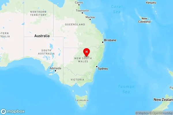
Pigeonbah, Coonamble, Bourke - Cobar - Coonamble, Far West and Orana, New South Wales, Australia, 2824
Pigeonbah Postcode
Area Name
PigeonbahPigeonbah Suburb Area Map (Polygon)

Pigeonbah Introduction
Pigeonbah is a suburb in the City of Blue Mountains, New South Wales, Australia. It is located 66 kilometers west of Sydney's central business district and is part of the Greater Western Sydney region. The suburb is named after the Pigeon River, which flows through it. Pigeonbah has a population of around 1,500 people and is known for its rural atmosphere and scenic surroundings. The area is popular with outdoor enthusiasts, with many walking and cycling trails nearby. The suburb also has a community hall, a cricket club, and a small shopping center.State Name
City or Big Region
District or Regional Area
Suburb Name
Pigeonbah Region Map
Country
Main Region in AU
R3Coordinates
-31.5407435,148.0815544 (latitude/longitude)Pigeonbah Area Map (Street)
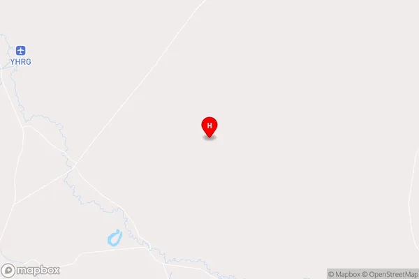
Longitude
147.785831Latitude
-31.373201Pigeonbah Elevation
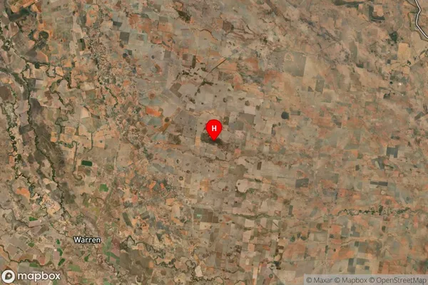
about 194.81 meters height above sea level (Altitude)Pigeonbah Suburb Map (Satellite)
Distances
The distance from Pigeonbah, Far West and Orana, NSW to AU Greater Capital CitiesSA1 Code 2011
10501109408SA1 Code 2016
10501109408SA2 Code
105011094SA3 Code
10501SA4 Code
105RA 2011
4RA 2016
4MMM 2015
6MMM 2019
6Charge Zone
N2LGA Region
WarrenLGA Code
17950Electorate
Parkes