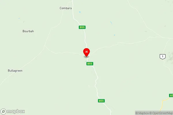
Coonamble Suburbs & Region, Coonamble Map & Postcodes
Coonamble Suburbs & Region, Coonamble Map & Postcodes in Coonamble, Dubbo, Far West and Orana, NSW, AU
Coonamble Region
Region Name
Coonamble (NSW, AU)Coonamble Area
12142 square kilometers (12,142 ㎢)Postal Codes
2824, 2828, 2829, and 2831 (In total, there are 4 postcodes in Coonamble.)Coonamble Introduction
Coonamble, Far West and Orana is a local government area in the Far West region of New South Wales, Australia. It is located in the Mid-West Slopes district and includes the towns of Coonamble, Far West, and Orana. The area is known for its agriculture, particularly sheep and wheat farming. The council is governed by five councillors, who are elected every four years. The area has a population of around 10,000 people and is located approximately 500 km west of Sydney.Australia State
City or Big Region
Greater Capital City
Rest of NSW (1RNSW)District or Regional Area
Suburb Name
Coonamble Region Map

Coonamble Postcodes / Zip Codes
Coonamble Suburbs
Coonamble full address
Coonamble, Dubbo, Far West and Orana, New South Wales, NSW, Australia, SaCode: 105011094Country
Coonamble, Dubbo, Far West and Orana, New South Wales, NSW, Australia, SaCode: 105011094
Coonamble Suburbs & Region, Coonamble Map & Postcodes has 0 areas or regions above, and there are 26 Coonamble suburbs below. The sa2code for the Coonamble region is 105011094. Its latitude and longitude coordinates are -31.3333,148.467. Coonamble area belongs to Australia's greater capital city Rest of NSW.
Coonamble Suburbs & Localities
1. Pine Clump
2. Conimbia
3. Macquarie Marshes
4. Quambone
5. Marthaguy
6. Black Hollow
7. Gulargambone
8. Billeroy
9. Combara
10. Magometon
11. Tooloon
12. Wingadee
13. Tenandra
14. Bourbah
15. Quanda
16. Gilgooma
17. Gungalman
18. Bullagreen
19. Pigeonbah
20. Mount Tenandra
21. Coonamble
22. Nebea
23. Pine Grove
24. Urawilkie
25. Pine Clump
26. Bullagreen
