Marthaguy Area, Marthaguy Postcode(2824) & Map in Marthaguy, Far West and Orana, NSW
Marthaguy Area, Marthaguy Postcode(2824) & Map in Marthaguy, Far West and Orana, NSW, AU, Postcode: 2824
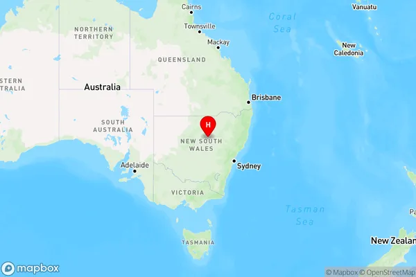
Marthaguy, Coonamble, Bourke - Cobar - Coonamble, Far West and Orana, New South Wales, Australia, 2824
Marthaguy Postcode
Area Name
MarthaguyMarthaguy Suburb Area Map (Polygon)

Marthaguy Introduction
Marthaguy is a small township in the Far West region of New South Wales, Australia. It is located in the Macarthur River catchment and is situated between the towns of Cowra and Forbes. The town is named after the Marthaguy River, which flows through it. Marthaguy has a population of around 200 people and is known for its agricultural industry, particularly cotton farming. The town also has a historic railway station and a community hall.State Name
City or Big Region
District or Regional Area
Suburb Name
Marthaguy Region Map
Country
Main Region in AU
R3Coordinates
-31.4647465,147.8910483 (latitude/longitude)Marthaguy Area Map (Street)
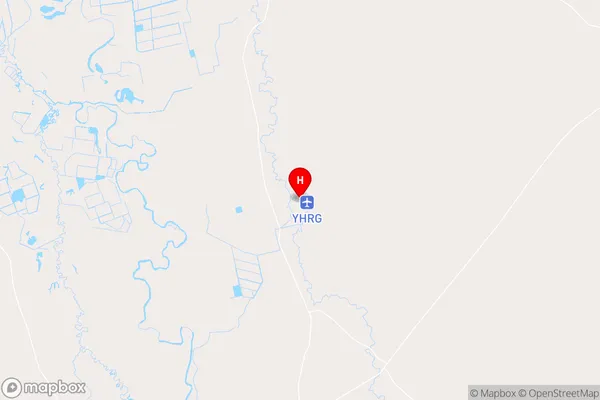
Longitude
147.785831Latitude
-31.373201Marthaguy Elevation
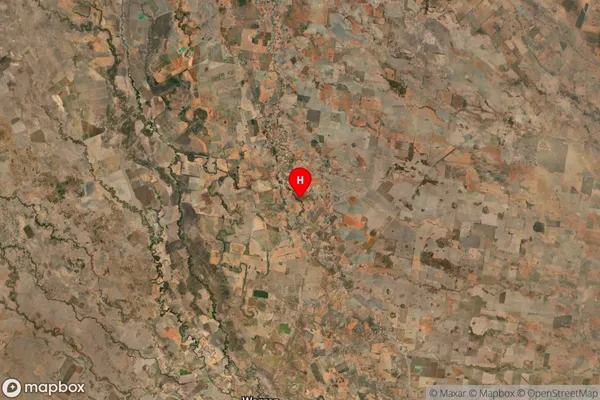
about 194.81 meters height above sea level (Altitude)Marthaguy Suburb Map (Satellite)
Distances
The distance from Marthaguy, Far West and Orana, NSW to AU Greater Capital CitiesSA1 Code 2011
10501109408SA1 Code 2016
10501109408SA2 Code
105011094SA3 Code
10501SA4 Code
105RA 2011
4RA 2016
4MMM 2015
6MMM 2019
6Charge Zone
N2LGA Region
WarrenLGA Code
17950Electorate
Parkes