Billeroy Area, Billeroy Postcode(2829) & Map in Billeroy, Far West and Orana, NSW
Billeroy Area, Billeroy Postcode(2829) & Map in Billeroy, Far West and Orana, NSW, AU, Postcode: 2829
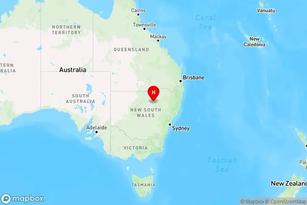
Billeroy, Coonamble, Bourke - Cobar - Coonamble, Far West and Orana, New South Wales, Australia, 2829
Billeroy Postcode
Area Name
BilleroyBilleroy Suburb Area Map (Polygon)

Billeroy Introduction
Billeroy, Far West and Orana are three towns in New South Wales, Australia, located in the Outback region. They are known for their rural landscapes, mining industry, and agricultural production.State Name
City or Big Region
District or Regional Area
Suburb Name
Billeroy Region Map
Country
Main Region in AU
R3Coordinates
-30.6763,148.381 (latitude/longitude)Billeroy Area Map (Street)

Longitude
148.4543715Latitude
-30.63014904Billeroy Elevation
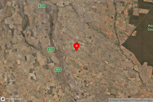
about 158.39 meters height above sea level (Altitude)Billeroy Suburb Map (Satellite)
Distances
The distance from Billeroy, Far West and Orana, NSW to AU Greater Capital CitiesSA1 Code 2011
10501109406SA1 Code 2016
10501109406SA2 Code
105011094SA3 Code
10501SA4 Code
105RA 2011
4RA 2016
4MMM 2015
6MMM 2019
6Charge Zone
N2LGA Region
CoonambleLGA Code
12150Electorate
Parkes