Oxley Area, Oxley Postcode(2824) & Map in Oxley, Far West and Orana, NSW
Oxley Area, Oxley Postcode(2824) & Map in Oxley, Far West and Orana, NSW, AU, Postcode: 2824
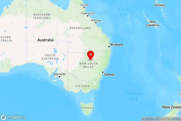
Oxley, Nyngan - Warren, Bourke - Cobar - Coonamble, Far West and Orana, New South Wales, Australia, 2824
Oxley Postcode
Area Name
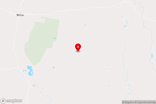
OxleyOxley Suburb Area Map (Polygon)

Oxley Introduction
Oxley, Far West and Orana are regions in New South Wales, Australia, known for their natural beauty, including the Blue Mountains, the Darling River, and the Outback. They offer a range of outdoor activities, including hiking, camping, and wildlife watching.State Name
City or Big Region
District or Regional Area
Suburb Name
Oxley Region Map
Country
Main Region in AU
R3Coordinates
-30.9819194,147.6205576 (latitude/longitude)Oxley Area Map (Street)
Longitude
147.6205823Latitude
-30.98197798Oxley Elevation
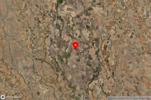
about 194.81 meters height above sea level (Altitude)Oxley Suburb Map (Satellite)
Distances
The distance from Oxley, Far West and Orana, NSW to AU Greater Capital CitiesSA1 Code 2011
10501109505SA1 Code 2016
10501109505SA2 Code
105011095SA3 Code
10501SA4 Code
105RA 2011
4RA 2016
4MMM 2015
6MMM 2019
6Charge Zone
N2LGA Region
WarrenLGA Code
17950Electorate
Parkes