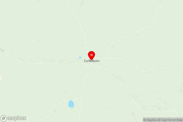
Condobolin Suburbs & Region, Condobolin Map & Postcodes
Condobolin Suburbs & Region, Condobolin Map & Postcodes in Condobolin, Bourke Cobar Coonamble, Far West and Orana, NSW, AU
Condobolin Region
Region Name
Condobolin (NSW, AU)Condobolin Area
15859 square kilometers (15,859 ㎢)Postal Codes
2669, 2671, 2672, 2871, from 2873 to 2875, and 2877 (In total, there are 8 postcodes in Condobolin.)Condobolin Introduction
Condobolin, Far West and Orana is a locality in the Central West region of New South Wales, Australia. It is located in the City of Cowra and the Weddin Shire. The town is situated on the banks of the Lachlan River and is a major agricultural center, known for its wheat and sheep production. It is also home to the Condobolin Airport and the Condobolin railway station. The population of the town was 4,596 at the 2016 census.Australia State
City or Big Region
Greater Capital City
Rest of NSW (1RNSW)District or Regional Area
Suburb Name
Condobolin Region Map

Condobolin Postcodes / Zip Codes
Condobolin Suburbs
Condobolin full address
Condobolin, Bourke Cobar Coonamble, Far West and Orana, New South Wales, NSW, Australia, SaCode: 103021062Country
Condobolin, Bourke Cobar Coonamble, Far West and Orana, New South Wales, NSW, Australia, SaCode: 103021062
Condobolin Suburbs & Region, Condobolin Map & Postcodes has 0 areas or regions above, and there are 23 Condobolin suburbs below. The sa2code for the Condobolin region is 103021062. Its latitude and longitude coordinates are -33.0885,147.147. Condobolin area belongs to Australia's greater capital city Rest of NSW.
Condobolin Suburbs & Localities
1. Bygalorie
2. Yaddra
3. Burgooney
4. Curlew Waters
5. Wargambegal
6. Tullibigeal
7. Burcher
8. Lake Cargelligo
9. Fifield
10. Ootha
11. Boona Mount
12. Derriwong
13. Mulguthrie
14. Fairholme
15. Lansdale
16. Tottenham
17. Condobolin
18. Albert
19. Tullamore
20. Yethera
21. Milby
22. Miamley
23. Kiacatoo
