ZipCode 2648 Areas, AU PostCode 2648 Suburbs
Postcode 2648 Suburbs, ZipCode 2648 Areas & Regions in Lower Murray,NSW Australia
There are at least 18 AU suburbs share the same AU PostCode 2648 Suburbs in Lower Murray, Broken Hill and Far West.
Postal Code 2648 Regions
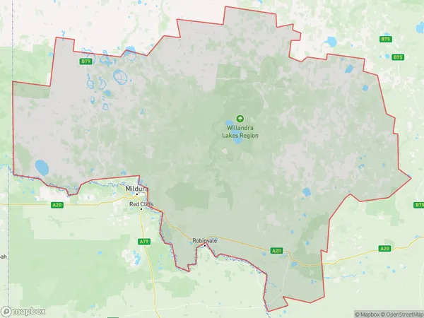
The Australia postcode 2648 regions include Wentworth-Balranald Region, Far West, Wentworth - Buronga in the areas of Lower Murray, Broken Hill and Far West, Wentworth-Balranald Region, These postcode areas are all located in the state New South Wales, NSW.Australia postcode 2648 is located in the Riverina region of New South Wales. It covers an area of approximately 1,500 square kilometers and includes the towns of Narrandera, Leeton, and Griffith. The postcode is known for its agricultural industry, with many farms and wineries located in the area. It is also home to several schools and universities, including Charles Sturt University.
ZipCode 2648 Areas Map for Wentworth-Balranald Region
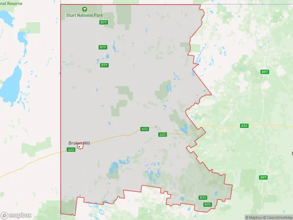
AU PostCode 2648 Suburbs Map for Far West
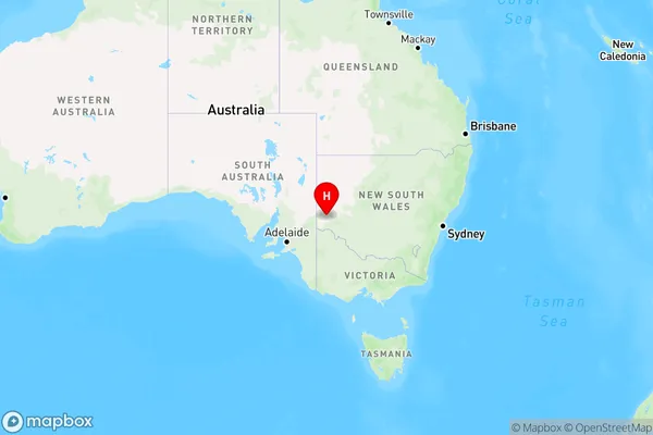
Postal Code 2648 Regions Map for Wentworth - Buronga

AU PostCode 2648 Suburbs
AU PostCode 2648 suburbs contain Anabranch North, Palinyewah, Scotia, Cal Lal, Curlwaa, Ellerslie, Moorara, Pooncarie, Boeill Creek, Mourquong, Pan Ban, Pine Camp, Pomona, Rufus River, Wentworth, Anabranch South, Para, Rufus, you can check the below link to see the 18 suburbs detailed information.
AU PostCode 2648 Suburbs Map
ZipCode 2648 Areas
1. Anabranch North
2. Palinyewah
3. Scotia
4. Cal Lal
5. Curlwaa
6. Ellerslie
7. Moorara
8. Pooncarie
9. Boeill Creek
10. Mourquong
11. Pan Ban
12. Pine Camp
13. Pomona
14. Rufus River
15. Wentworth
16. Anabranch South
17. Para
18. Rufus