Anabranch South Area, Anabranch South Postcode(2648) & Map in Anabranch South, Murray, NSW
Anabranch South Area, Anabranch South Postcode(2648) & Map in Anabranch South, Murray, NSW, AU, Postcode: 2648
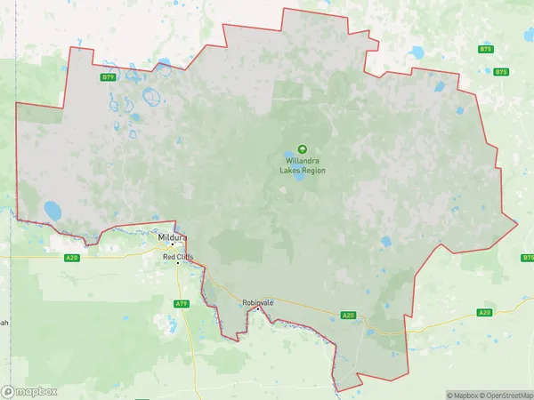
Anabranch South, Wentworth-Balranald Region, Lower Murray, Murray, New South Wales, Australia, 2648
Anabranch South Postcode
Area Name
Anabranch SouthAnabranch South Suburb Area Map (Polygon)
Anabranch South Introduction
Anabranch South is a suburb of Murray, NSW, AU, located on the Murray River. It is a popular tourist destination known for its fishing, boating, and water sports. The area is also home to several wineries and restaurants.State Name
City or Big Region
District or Regional Area
Suburb Name
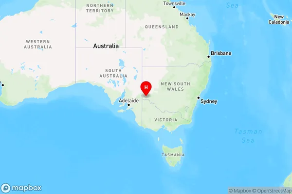
Anabranch South Region Map
Country
Main Region in AU
R3Coordinates
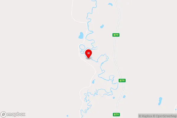
-33.7526,141.725 (latitude/longitude)Anabranch South Area Map (Street)
Longitude
141.6901075Latitude
-33.71600464Anabranch South Elevation
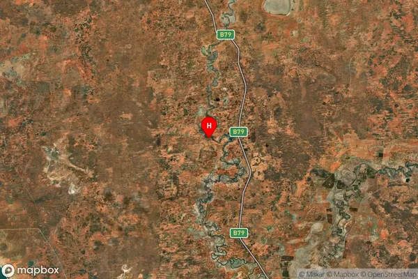
about 55.83 meters height above sea level (Altitude)Anabranch South Suburb Map (Satellite)
Distances
The distance from Anabranch South, Murray, NSW to AU Greater Capital CitiesSA1 Code 2011
10902117906SA1 Code 2016
10902117906SA2 Code
109021179SA3 Code
10902SA4 Code
109RA 2011
4RA 2016
4MMM 2015
6MMM 2019
6Charge Zone
V2LGA Region
WentworthLGA Code
18200Electorate
Parkes