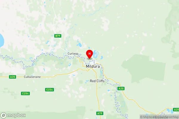
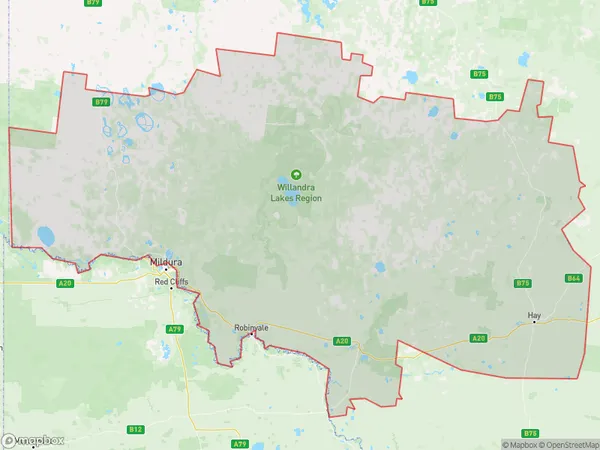
Lower Murray Suburbs & Region, Lower Murray Map & Postcodes
Lower Murray Suburbs & Region, Lower Murray Map & Postcodes in Lower Murray, Murray, NSW, AU
Lower Murray Region
Region Name
Lower Murray (NSW, AU)Lower Murray Area
63968 square kilometers (63,968 ㎢)Postal Codes
2648, 2717, 2736, 2737, 2739, and 2878 (In total, there are 6 postcodes in Lower Murray.)Lower Murray Introduction
Lower Murray is a locality in the Murray River region of New South Wales, Australia. It is located in the Shire of Murrumbidgee and is situated by the Murray River. The town is a popular tourist destination and is known for its fishing, boating, and water sports. It is also home to several wineries and vineyards. The population of Lower Murray is approximately 2,000 people.Australia State
City or Big Region
District or Regional Area
Lower Murray Region Map

Lower Murray Postcodes / Zip Codes
Lower Murray Suburbs
Lower Murray full address
Lower Murray, Murray, New South Wales, NSW, Australia, SaCode: 10902Country
Lower Murray, Murray, New South Wales, NSW, Australia, SaCode: 10902
Lower Murray Suburbs & Region, Lower Murray Map & Postcodes has 0 areas or regions above, and there are 33 Lower Murray suburbs below. The sa3code for the Lower Murray region is 10902. Its latitude and longitude coordinates are -34.1433,142.12.
Lower Murray Suburbs & Localities
1. Anabranch North
2. Anabranch South
3. Boeill Creek
4. Cal Lal
5. Curlwaa
6. Ellerslie
7. Moorara
8. Mourquong
9. Palinyewah
10. Pan Ban
11. Para
12. Pine Camp
13. Pomona
14. Pooncarie
15. Rufus
16. Rufus River
17. Scotia
18. Wentworth
19. Coomealla
20. Dareton
21. Goodnight
22. Tooleybuc
23. Benanee
24. Euston
25. Boeill Creek
26. Buronga
27. Mourquong
28. Beilpajah
29. Conoble
30. Ivanhoe
31. Manara
32. Mossgiel
33. Trida
