Goodnight Area, Goodnight Postcode(2736) & Map in Goodnight, Murray, NSW
Goodnight Area, Goodnight Postcode(2736) & Map in Goodnight, Murray, NSW, AU, Postcode: 2736
Goodnight, Wentworth-Balranald Region, Lower Murray, Murray, New South Wales, Australia, 2736
Goodnight Postcode
Area Name
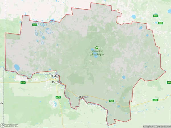
GoodnightGoodnight Suburb Area Map (Polygon)

Goodnight Introduction
Murray River, a major Australian river, rises in the western slopes of the Great Dividing Range and flows eastward across the plains to empty into Lake Alexandrina, which it borders for about 350 km (220 mi). The river is approximately 1,558 km (968 mi) long and has a drainage basin of approximately 1,700,000 square km (650,000 square miles). It is the third-longest river in Australia and the tenth-longest in the world.State Name
City or Big Region
District or Regional Area
Suburb Name
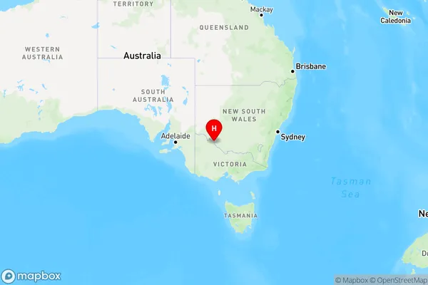
Goodnight Region Map

Country
Main Region in AU
R3Coordinates
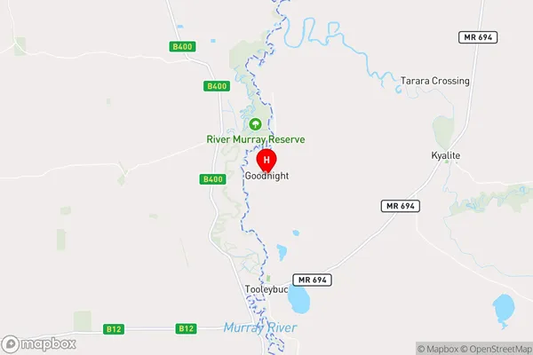
-34.9596954,143.337473 (latitude/longitude)Goodnight Area Map (Street)

Longitude
143.375822Latitude
-34.965178Goodnight Elevation
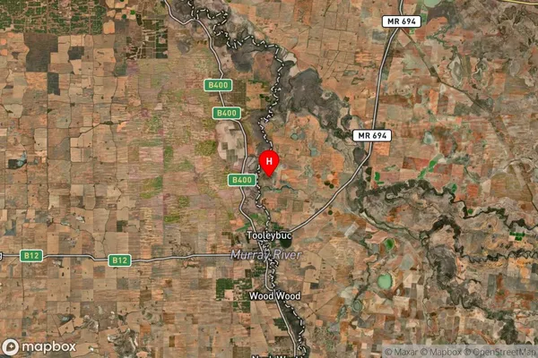
about 69.87 meters height above sea level (Altitude)Goodnight Suburb Map (Satellite)

Distances
The distance from Goodnight, Murray, NSW to AU Greater Capital CitiesSA1 Code 2011
10902117905SA1 Code 2016
10902117905SA2 Code
109021179SA3 Code
10902SA4 Code
109RA 2011
3RA 2016
3MMM 2015
5MMM 2019
5Charge Zone
V2LGA Region
Murray RiverLGA Code
15520Electorate
Farrer