Coomealla Area, Coomealla Postcode(2717) & Map in Coomealla, Murray, NSW
Coomealla Area, Coomealla Postcode(2717) & Map in Coomealla, Murray, NSW, AU, Postcode: 2717
Coomealla, Wentworth - Buronga, Lower Murray, Murray, New South Wales, Australia, 2717
Coomealla Postcode
Area Name
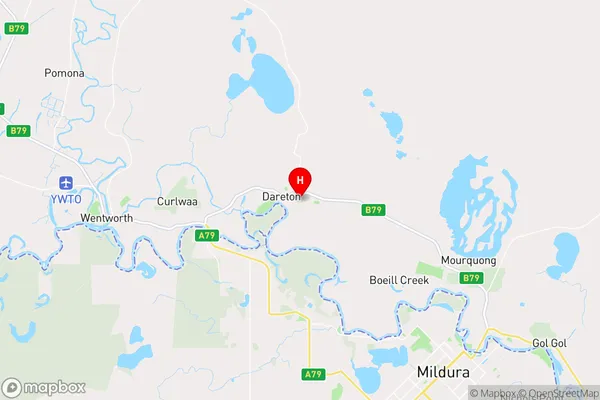
CoomeallaCoomealla Suburb Area Map (Polygon)

Coomealla Introduction
Coomealla is a town in the Murray River region of New South Wales, Australia. It is located on the banks of the Murray River and is known for its agricultural industry, particularly rice and cotton. The town has a population of around 2,000 people and is a popular tourist destination for fishing, boating, and water sports.State Name
City or Big Region
District or Regional Area
Suburb Name
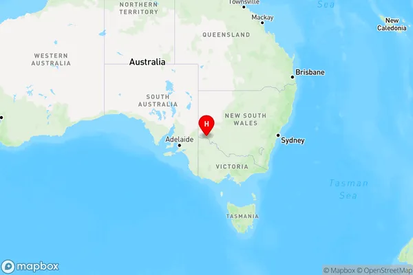
Coomealla Region Map
Country
Main Region in AU
R3Coordinates
-34.0975,142.052 (latitude/longitude)Coomealla Area Map (Street)
Longitude
142.0944482Latitude
-34.08796357Coomealla Elevation
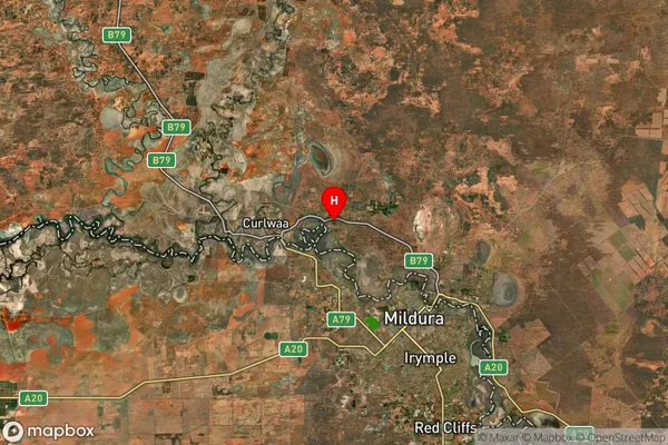
about 59.11 meters height above sea level (Altitude)Coomealla Suburb Map (Satellite)
Distances
The distance from Coomealla, Murray, NSW to AU Greater Capital CitiesSA1 Code 2011
10902117820SA1 Code 2016
10902117820SA2 Code
109021178SA3 Code
10902SA4 Code
109RA 2011
3RA 2016
3MMM 2015
3MMM 2019
3Charge Zone
V2LGA Region
WentworthLGA Code
18200Electorate
Farrer