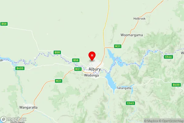
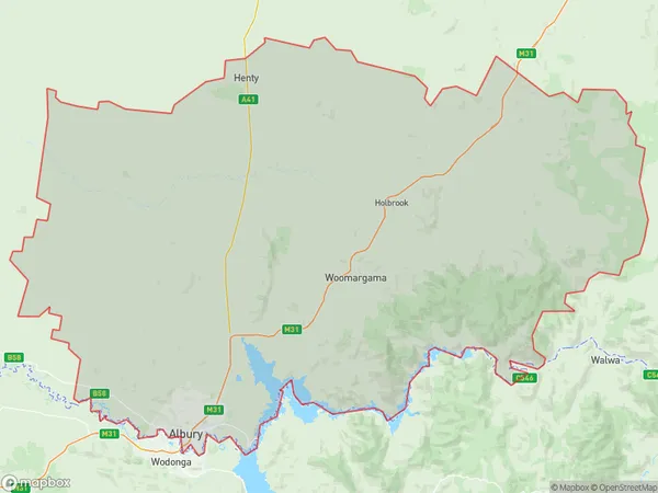
Albury Suburbs & Region, Albury Map & Postcodes
Albury Suburbs & Region, Albury Map & Postcodes in Albury, Murray, NSW, AU
Albury Region
Region Name
Albury (NSW, AU)Albury Area
5597 square kilometers (5,597 ㎢)Postal Codes
2641, 2659, and 2660 (In total, there are 3 postcodes in Albury.)Albury Introduction
Albury is a city in the Riverina region of New South Wales, Australia. It is situated on the banks of the Murray River and is the administrative center of the Albury-Wodonga Local Government Area. The city has a population of around 200,000 people and is known for its vibrant cultural scene, including the Albury Wodonga Festival of the Arts, which attracts artists and performers from around the world. Albury is also home to a number of significant historical sites, including the Albury Wodonga Historical Museum and the Old Courthouse Museum. The city is a major transport hub, with a railway station and an airport providing connections to Sydney, Melbourne, and other major cities.Australia State
City or Big Region
District or Regional Area
Albury Region Map

Albury Postcodes / Zip Codes
Albury Suburbs
Albury North
Albury Region
Albury full address
Albury, Murray, New South Wales, NSW, Australia, SaCode: 10901Country
Albury, Murray, New South Wales, NSW, Australia, SaCode: 10901
Albury Suburbs & Region, Albury Map & Postcodes has 3 areas or regions above, and there are 8 Albury suburbs below. The sa3code for the Albury region is 10901. Its latitude and longitude coordinates are -36.0257,146.893.
Albury Suburbs & Localities
1. Lavington
2. Hamilton Valley
3. Springdale Heights
4. Morven
5. Culcairn
6. Alma Park
7. Walla Walla
8. Carnsdale
