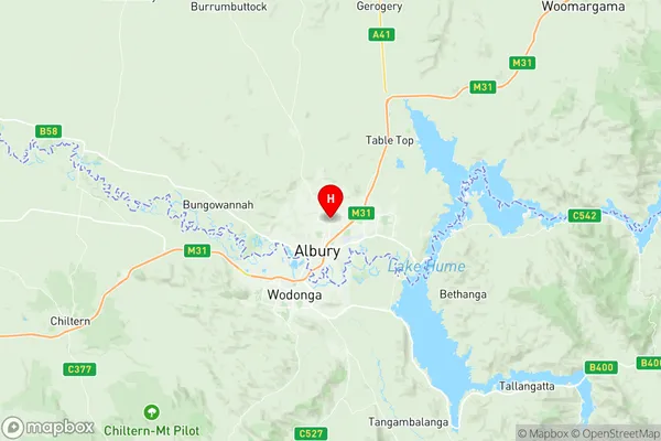
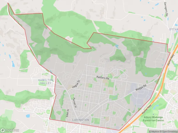
Lavington Suburbs & Region, Lavington Map & Postcodes
Lavington Suburbs & Region, Lavington Map & Postcodes in Lavington, Albury, Murray, NSW, AU
Lavington Region
Region Name
Lavington (NSW, AU)Lavington Area
21.47 square kilometers (21.47 ㎢)Postal Codes
2640, and 2641 (In total, there are 2 postcodes in Lavington.)Lavington Introduction
Lavington is a suburb of the City of Shoalhaven in New South Wales, Australia. It is located in the Shoalhaven River valley and is about 35 kilometers south of Nowra. Lavington is known for its agricultural industry, with many farms and orchards in the area. The suburb has a population of around 5,000 people and is home to a number of historic buildings, including the Lavington Post Office and the Lavington Public School. The Lavington Sports Complex is a major sporting and recreation facility in the area, with a number of sports fields, a swimming pool, and a tennis court. The suburb is also home to a number of parks and reserves, including the Lavington Nature Reserve and the Lavington Reserve.Australia State
City or Big Region
Greater Capital City
Rest of NSW (1RNSW)District or Regional Area
Suburb Name
Lavington Region Map

Lavington Postcodes / Zip Codes
Lavington Suburbs
Lavington full address
Lavington, Albury, Murray, New South Wales, NSW, Australia, SaCode: 109011176Country
Lavington, Albury, Murray, New South Wales, NSW, Australia, SaCode: 109011176
Lavington Suburbs & Region, Lavington Map & Postcodes has 0 areas or regions above, and there are 3 Lavington suburbs below. The sa2code for the Lavington region is 109011176. Its latitude and longitude coordinates are -36.05,146.933. Lavington area belongs to Australia's greater capital city Rest of NSW.
Lavington Suburbs & Localities
1. Lavington
2. Springdale Heights
3. Lavington Dc
