Rennie Area, Rennie Postcode(2646) & Map in Rennie, Murray, NSW
Rennie Area, Rennie Postcode(2646) & Map in Rennie, Murray, NSW, AU, Postcode: 2646
Rennie, Corowa Region, Upper Murray exc. Albury, Murray, New South Wales, Australia, 2646
Rennie Postcode
Area Name
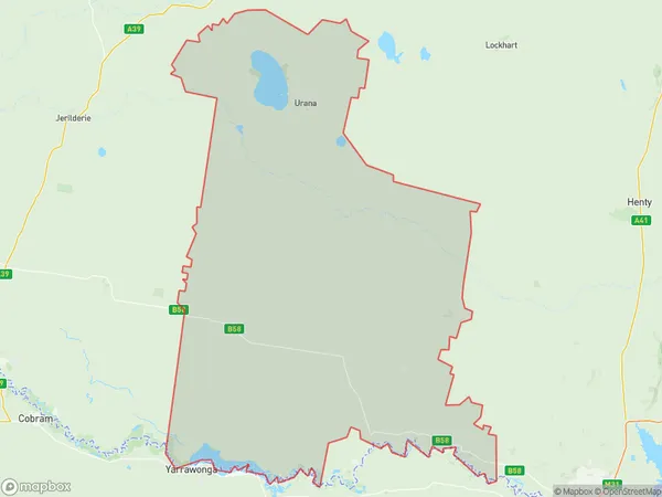
RennieRennie Suburb Area Map (Polygon)

Rennie Introduction
Rennie is a suburb in the Macarthur region of Sydney, in New South Wales, Australia. It is located 36 kilometers south-west of Sydney's central business district and is part of the Macarthur City Council. The suburb was named after John Rennie, a Scottish-born architect who designed many of Sydney's iconic buildings, including the Sydney Opera House. Rennie is a primarily residential area with a mix of single-family homes, apartments, and townhouses. It has a small commercial center with a supermarket, pharmacy, and several cafes and restaurants. The suburb also has several parks and recreational facilities, including a cricket club, tennis courts, and a swimming pool.State Name
City or Big Region
District or Regional Area
Suburb Name
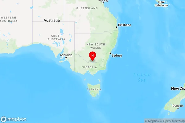
Rennie Region Map

Country
Main Region in AU
R3Coordinates
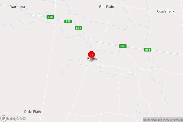
-35.8141297,146.1340034 (latitude/longitude)Rennie Area Map (Street)

Longitude
146.324523Latitude
-35.757569Rennie Elevation
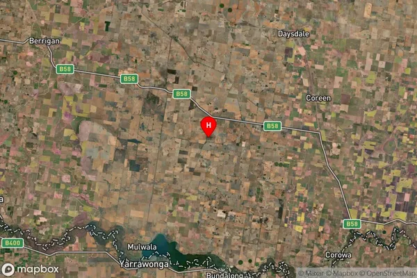
about 133.61 meters height above sea level (Altitude)Rennie Suburb Map (Satellite)

Distances
The distance from Rennie, Murray, NSW to AU Greater Capital CitiesSA1 Code 2011
10903118104SA1 Code 2016
10903118104SA2 Code
109031181SA3 Code
10903SA4 Code
109RA 2011
2RA 2016
2MMM 2015
5MMM 2019
5Charge Zone
N2LGA Region
FederationLGA Code
12870Electorate
Farrer