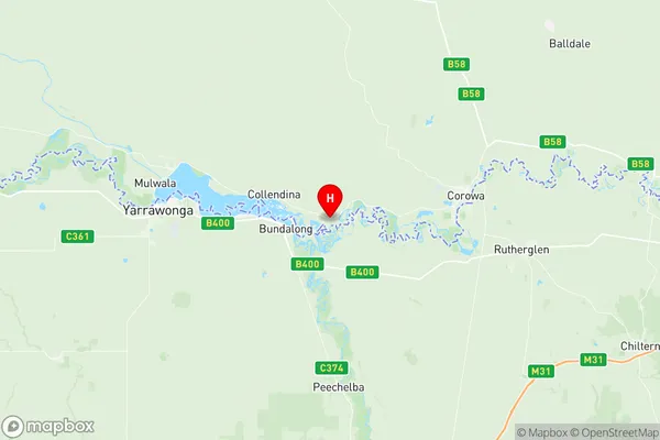
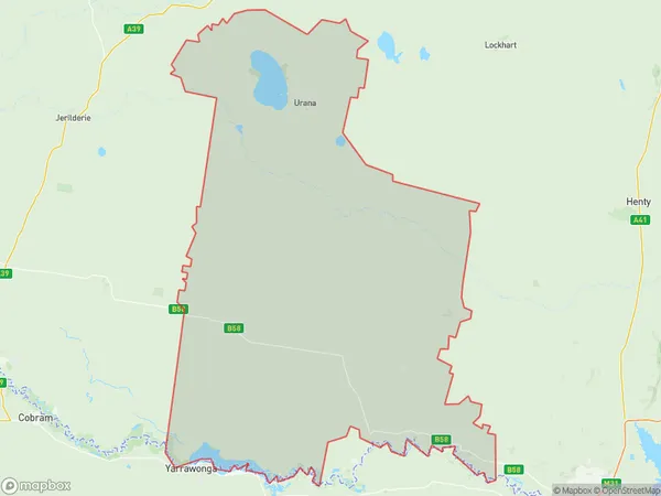
Corowa Region Suburbs & Region, Corowa Region Map & Postcodes
Corowa Region Suburbs & Region, Corowa Region Map & Postcodes in Corowa Region, Wagga Wagga, Riverina, NSW, AU
Corowa Region Region
Region Name
Corowa Region (NSW, AU)Corowa Region Area
4495 square kilometers (4,495 ㎢)Postal Codes
2642, 2643, and from 2645 to 2647 (In total, there are 5 postcodes in Corowa Region.)Corowa Region Introduction
Corowa Region is a local government area in the Riverina region of New South Wales, Australia. It is located on the Murray River and covers an area of 1,186 square kilometers. The region is home to the towns of Corowa, Wyalong, and Cobram. The population of the region was 11,691 at the 2016 census. The region is known for its agriculture, particularly cotton farming, and its tourism, with the Corowa Steam Tram Museum being a popular attraction. The region is also home to the Corowa Airport and the Corowa Showground.Australia State
City or Big Region
Greater Capital City
Rest of NSW (1RNSW)District or Regional Area
Suburb Name
Corowa Region Region Map

Corowa Region Postcodes / Zip Codes
Corowa Region Suburbs
Corowa Region full address
Corowa Region, Wagga Wagga, Riverina, New South Wales, NSW, Australia, SaCode: 109031181Country
Corowa Region, Wagga Wagga, Riverina, New South Wales, NSW, Australia, SaCode: 109031181
Corowa Region Suburbs & Region, Corowa Region Map & Postcodes has 0 areas or regions above, and there are 21 Corowa Region suburbs below. The sa2code for the Corowa Region region is 109031181. Its latitude and longitude coordinates are -36.0241,146.221. Corowa Region area belongs to Australia's greater capital city Rest of NSW.
Corowa Region Suburbs & Localities
1. Coads Tank
2. Collendina
3. Daysdale
4. Redlands
5. Rennie
6. Sanger
7. Balldale
8. Coreen
9. Ringwood
10. Howlong
11. Urana
12. Goombargana
13. Hopefield
14. Lowesdale
15. Oaklands
16. Rand
17. Coonong
18. Bull Plain
19. Buraja
20. Merton Vale
21. Mulwala
