Tantonan Area, Tantonan Postcode(2731) & Map in Tantonan, Murray, NSW
Tantonan Area, Tantonan Postcode(2731) & Map in Tantonan, Murray, NSW, AU, Postcode: 2731
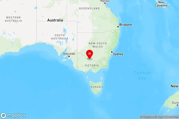
Tantonan, Deniliquin Region, Upper Murray exc. Albury, Murray, New South Wales, Australia, 2731
Tantonan Postcode
Area Name
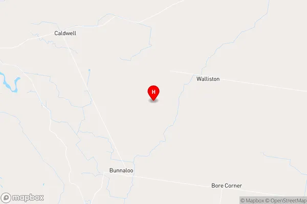
TantonanTantonan Suburb Area Map (Polygon)

Tantonan Introduction
Tantonan is a small rural community located in the Murray River region of New South Wales, Australia. It is situated in the Shire of Murrumbidgee and is approximately 350 kilometers south-west of Sydney. The town is known for its agriculture, with many farms and orchards in the area. Tantonan has a post office, a general store, and a community hall. The town also has a cricket club and a football team that competes in the local competitions.State Name
City or Big Region
District or Regional Area
Suburb Name
Tantonan Region Map

Country
Main Region in AU
R3Coordinates
-35.7069505,144.6278498 (latitude/longitude)Tantonan Area Map (Street)

Longitude
144.641831Latitude
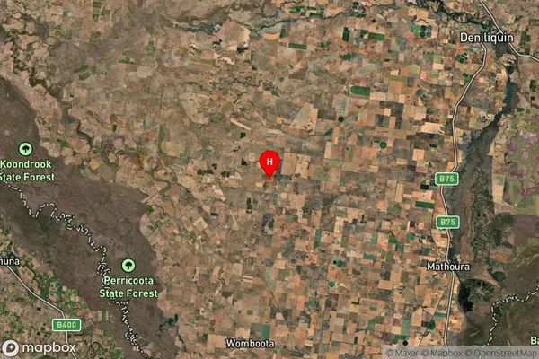
-35.893394Tantonan Suburb Map (Satellite)

Distances
The distance from Tantonan, Murray, NSW to AU Greater Capital CitiesSA1 Code 2011
10903118314SA1 Code 2016
10903118314SA2 Code
109031183SA3 Code
10903SA4 Code
109RA 2011
3RA 2016
3MMM 2015
5MMM 2019
5Charge Zone
V2LGA Region
Murray RiverLGA Code
15520Electorate
Farrer