Heathcote Area, Heathcote Postcode(3523) & Map in Heathcote, Bendigo, VIC
Heathcote Area, Heathcote Postcode(3523) & Map in Heathcote, Bendigo, VIC, AU, Postcode: 3523
Heathcote, Heathcote, Heathcote - Castlemaine - Kyneton, Bendigo, Victoria, Australia, 3523
Heathcote Postcode
Area Name
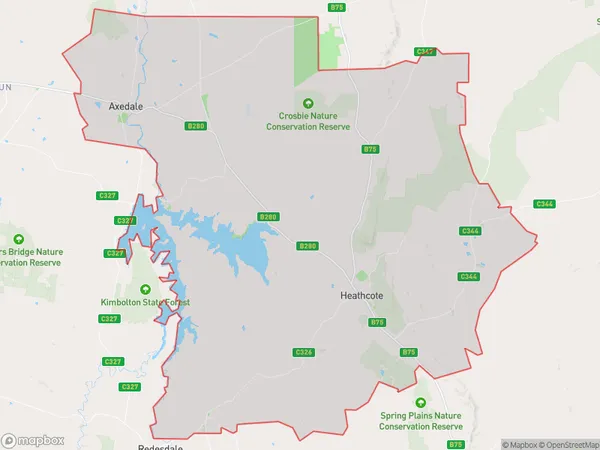
HeathcoteHeathcote Suburb Area Map (Polygon)

Heathcote Introduction
Heathcote is a suburb located in the City of Greater Bendigo, Victoria, Australia. It is approximately 10 kilometers from the central business district of Bendigo and is known for its historic architecture and scenic surroundings. Heathcote was first settled in the 1850s and was named after a nearby property owned by the Heathcote family. The suburb has a variety of housing styles, including Victorian-era homes and modern apartments. It is home to a number of parks and recreational facilities, including the Heathcote Golf Club and the Heathcote Botanical Gardens.State Name
City or Big Region
District or Regional Area
Suburb Name
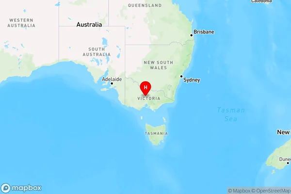
Heathcote Region Map

Country
Main Region in AU
R3Coordinates
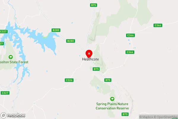
-36.916667,144.7 (latitude/longitude)Heathcote Area Map (Street)

Longitude
144.768359Latitude
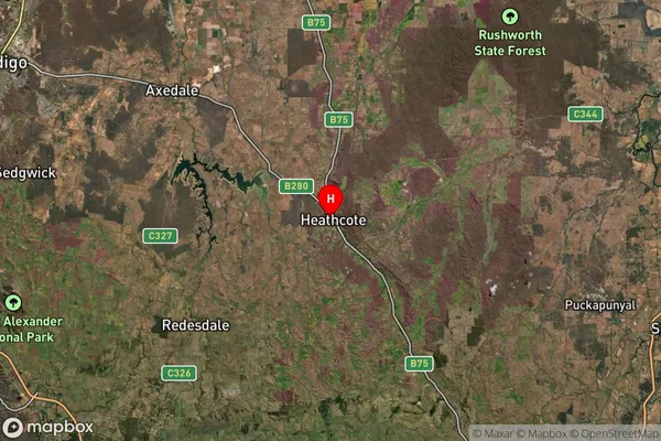
-36.837461Heathcote Suburb Map (Satellite)

Distances
The distance from Heathcote, Bendigo, VIC to AU Greater Capital CitiesSA1 Code 2011
20202102912SA1 Code 2016
20202102912SA2 Code
202021029SA3 Code
20202SA4 Code
202RA 2011
2RA 2016
2MMM 2015
5MMM 2019
5Charge Zone
V2LGA Region
Greater BendigoLGA Code
22620Electorate
Nicholls