Heathcote Suburbs & Region, Heathcote Map & Postcodes
Heathcote Suburbs & Region, Heathcote Map & Postcodes in Heathcote, Campaspe, Shepparton, VIC, AU
Heathcote Region
Region Name
Heathcote (VIC, AU)Heathcote Area
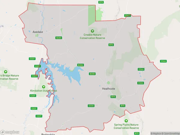
756.82 square kilometers (756.82 ㎢)Heathcote Suburb Area Map (Polygon)
Heathcote Introduction
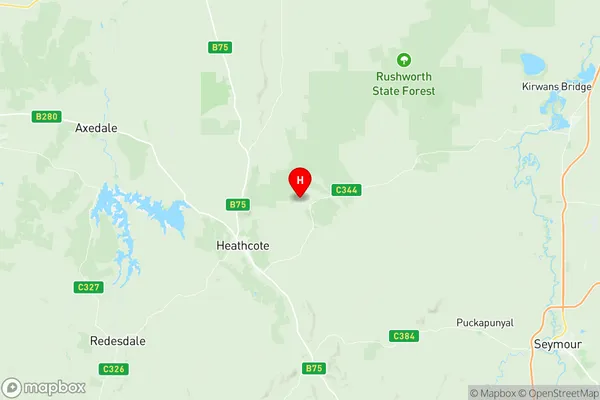
Heathcote is a suburb of Shepparton, Victoria, Australia. It is located in the Goulburn Valley region and is 116 km north-east of Melbourne's central business district. The post office opened as Heathcote on 1 October 1891 and was closed on 1 March 1971. The name Heathcote is derived from the Scottish town of Heathcote. Heathcote has a primary school, a post office, a supermarket, and a variety of shops and cafes. The suburb is also home to a number of parks and recreational facilities, including a cricket club, a golf course, and a swimming pool.Australia State
City or Big Region
Greater Capital City
Rest of Vic. (2RVIC)District or Regional Area
Suburb Name
Heathcote Region Map
Heathcote Suburbs
Heathcote full address
Heathcote, Campaspe, Shepparton, Victoria, VIC, Australia, SaCode: 202021029Country
Heathcote, Campaspe, Shepparton, Victoria, VIC, Australia, SaCode: 202021029
Heathcote Suburbs & Region, Heathcote Map & Postcodes has 0 areas or regions above, and there are 0 Heathcote suburbs below. The sa2code for the Heathcote region is 202021029. Its latitude and longitude coordinates are -36.8661,144.782. Heathcote area belongs to Australia's greater capital city Rest of Vic..